
Part of the plan for starting at the Columbia was that I would see a little of the dry half of the state as I hauled up out of the gorge of the Columbia before hitting the fertile Kittitas valley.
At 7:45 am on Monday as I was leaving the campground I met a county employee who wanted to hear my story and check out my cart. ” You really walking to Seattle? How far have you gone already?”
I sheepishly pointed to my campsite about 50 ft away. “Not too far yet, but I’m planning on getting 10-15 miles up the Vantage Highway by the afternoon.”
“Hmm. There’s nothing up there amigo.” And he returned to emptying the trash bins.
With that, the journey began.

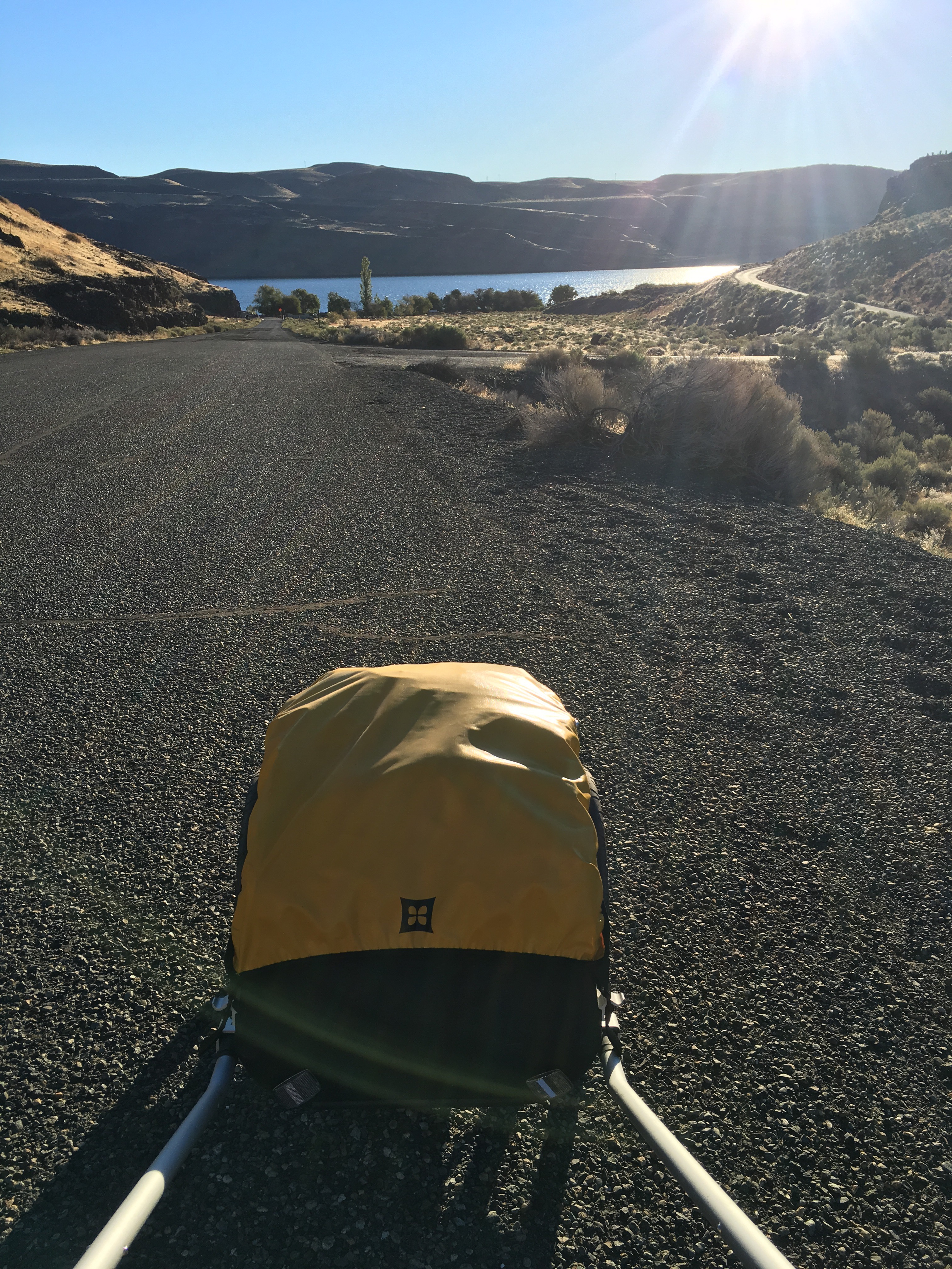
I knew it was going to be uphill away from the river. It always is. After 5 miles I had climbed 1000′, which isn’t much on a hiking trail, but I was hauling 80lbs of water, equipment and food. I was working hard, but so was the cart, and I was able to maintain a steady 3mph along the shoulder of the blessedly lonely highway.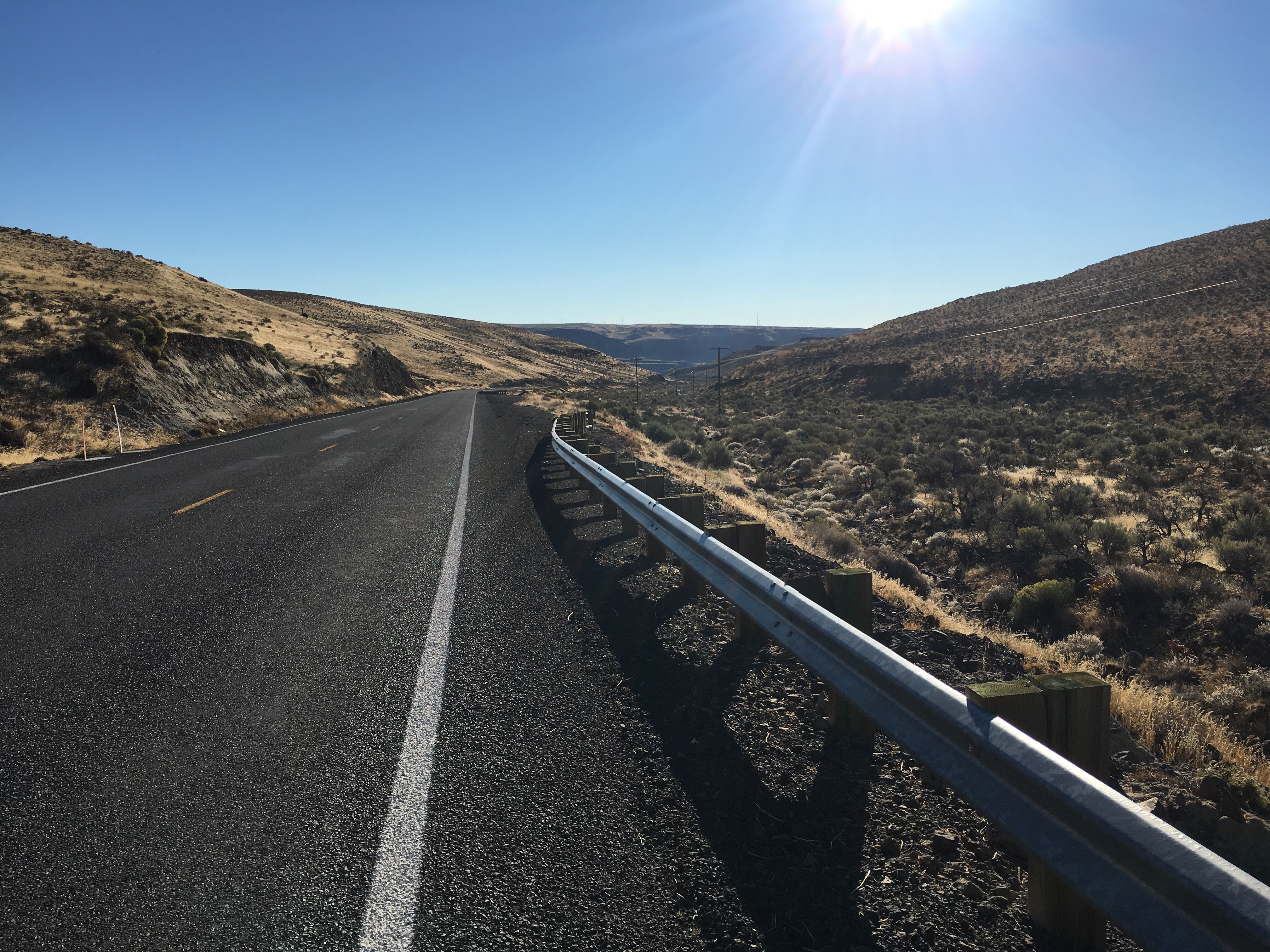
After 8 miles I came to one of the public lands access points that I had scoped out as a possible camping spot, but it was too early in the day, and the place was completely desolate. Rocks, sagebrush and tumbleweeds. Surely I can do better than this? I pushed on.
At the 11 mile mark I came to the imposing entrance to the PSE Wildhorse Wind Facility, just as I hit 2000′ of climbing. I’d heard good things about Wildhorse, but I had a decision to make.
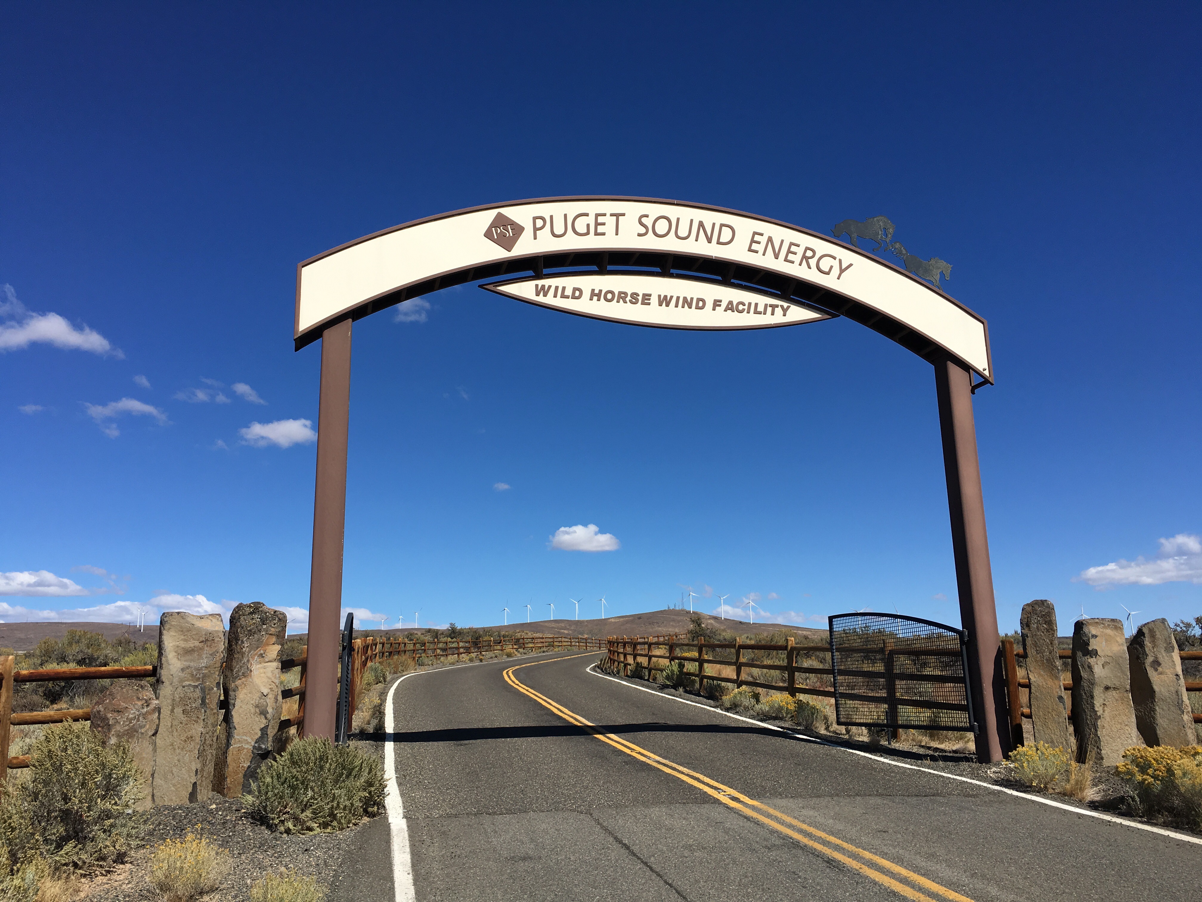
The visitor center was 3 miles up on that ridge you can see in the distance, and almost another 1000′ of climbing. This would mean adding 6 miles to my day, and of course there was still the matter of working out where I could camp. But hey — it’s an adventure, right?

At the top of the ridge I got a tour of the impressive facility by Ricky. They generate 270 megawatts with their 150 emormous turbines. Fairly small potatoes compared to the big hydro on the Columbia, but apparently very efficient in terms of total cost over their lifetime.


After the tour I took in the view. A fire to the west made things a little hazy but we are pretty high here – 3500′
It was 3:30, and time to head down the hill. Camping wasn’t permitted on PSE land, but Ricky told me about a place called the Green Gate about a mile east of entrance, which sounded like it would work, so off I wheeled.
3 miles down, and 2 miles further east on the Vantage highway I still hadn’t seen anything vaguely like a green gate. Just steep rocky hills of sagebrush. I had already done 20 miles total on the first day, and I decided I needed a little “trail magic”, but since this wasn’t a trail I knew my chances were slim.
Five minutes later Ricky and his friend drive past on their way home. They stop. It must be trail magic! But no, they didn’t invite me back to their place, they just noted that the Green Gate was maybe another 2-3 miles along the road and drove on. Note to drivers: the difference between 1 mile and 5 miles isn’t much in a car, but to a pedestrian it’s a pretty big deal.
It was almost 6pm and I was in danger of running out of light. Necessity was the mother of invention, and I found a spot off the road that could plausibly be public land. Beautiful it was not.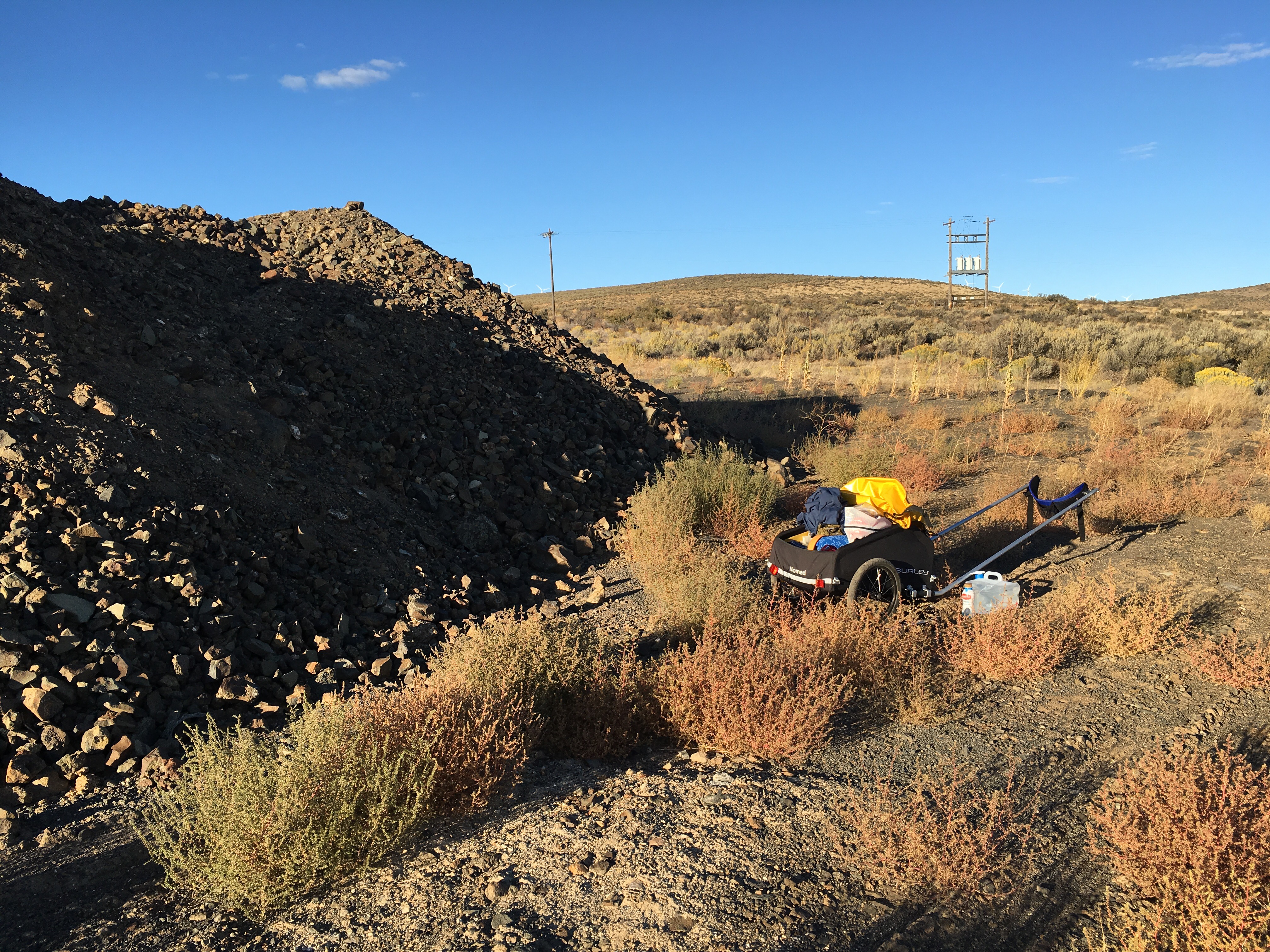
But I did have a pretty sunset view of Mt Ranier directly to my west:
And thus my first day on the trail concluded. I’d gone much further than I’d planned to, but my feet were feeling pretty good, especially after they got a soaking in the little aluminum pan I brought along for that purpose!
Day 2 dawned and off I set at a jaunty pace now that the going was mostly downhill.
My goal was to make it to Ellensburg that evening, and I had about 16 miles to go.
Five miles in I hit agriculture and the desolation of the basalt and sagebrush started to recede. Soon thereafter I met Steve out walking his dog. Steve sells mortgages mostly to people from Seattle buying second homes.
He pointed to the irrigation ditch we were standing beside: “This is the first one. West of here it’s irrigated. East of here it’s…” He looked around for the right word. Whatever the word was, I was glad to be out of that treeless gray-green scrub.
Soon I left the Vantage Highway and made my way through country roads down to where I could finally get on the fabled Iron Horse trail at East Kittitas.
 2 miles on the trail brought me into Kittitas proper, a cold beer, and then another to wash down the burger at the Timeout Saloon. Ahh.

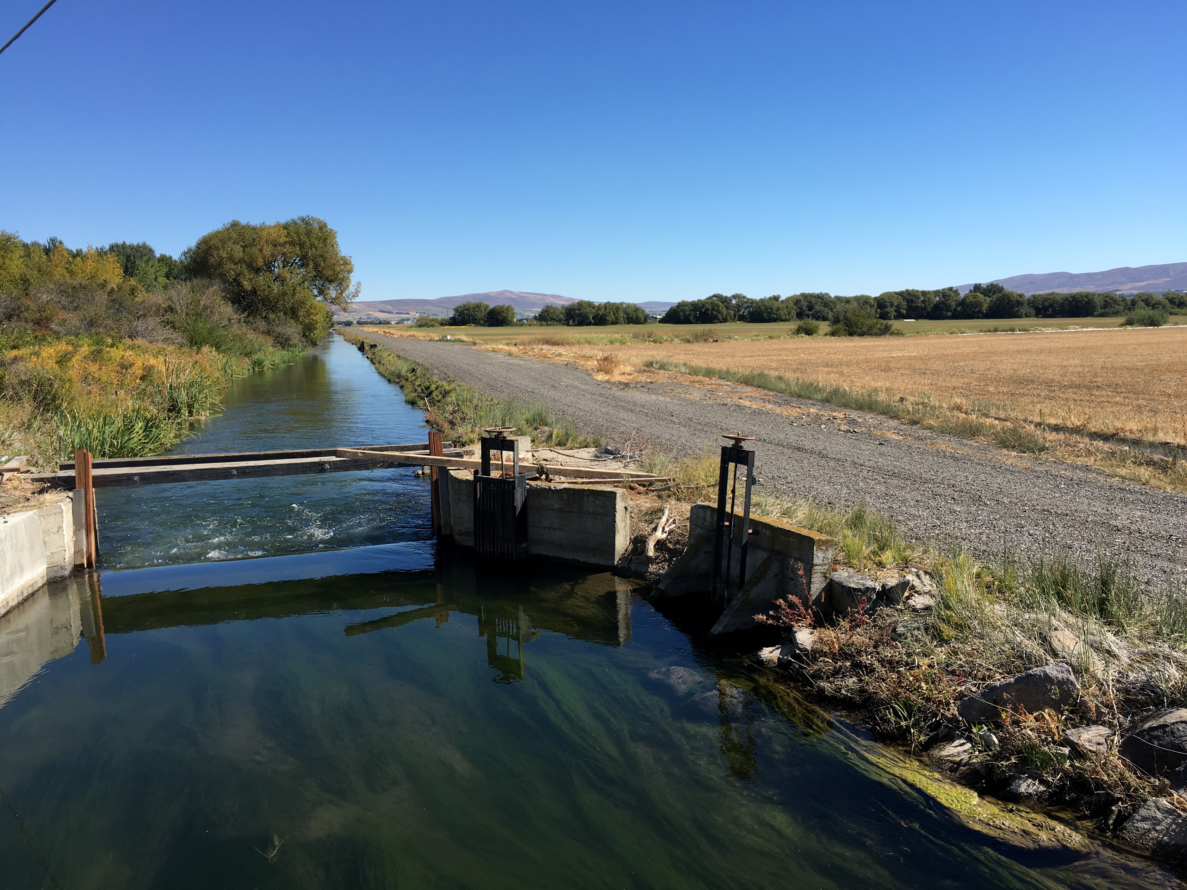
Note to self: two beers in the middle of the day is fine if you can take a nap afterwards. If you have to walk 8 miles on a dead straight trail of soft gravel in the beating sun, it’s not so great. Lesson learned. My only relief was inspecting the occasional irrigation canal – they were everywhere.
My feet were getting sore now, and with the lyrics of Mr Edwin Starr’s “Twenty Five Miles” going through my head I marched on into Ellensburg, and into a soft bed at the Super-8 motel. Luxury!
I’m writing this from a cafe in Ellensburg on Wednesday. I’m hanging out in town today and will continue my missive in a few days. Rest assured, if you’ve read this far, future posts will be shorter!

Good call venturing up to PSE’s visitor center–you’re there for the trip, not the destination. At least until your feet get too tired. –tka
LikeLike
Step on.
LikeLike
I thought you would like that reference Richard.
LikeLike
Wonderful, David! May the road rise up to meet you; may the wind always be at your back.
LikeLike
David, your fabulous shadow photos remind me of that Ned Kelly painting you guys had. Thanks for the great photo journalling. Love it!
LikeLike
Excited to witness your exploits. I hope your excellent documentation continues.
LikeLike
Didn’t mean to be anon. Blame it on my own, less exciting, jet lagged, travels.
LikeLike
Enjoying the trip from my armchair !
LikeLike
David keep the posts coming . I’m enjoying the narrative and photos from my comfy couch . Good idea to check out the Wind Facility – it looks very similar to the one beside the Hume Hwy at Yass !
Keep putting one foot in front of the other and as the Nepalese say ” all hills are Nepalese flat”
Best , Heff
LikeLike