All posts by David Gedye

Days 10-13: The End of the Beginning

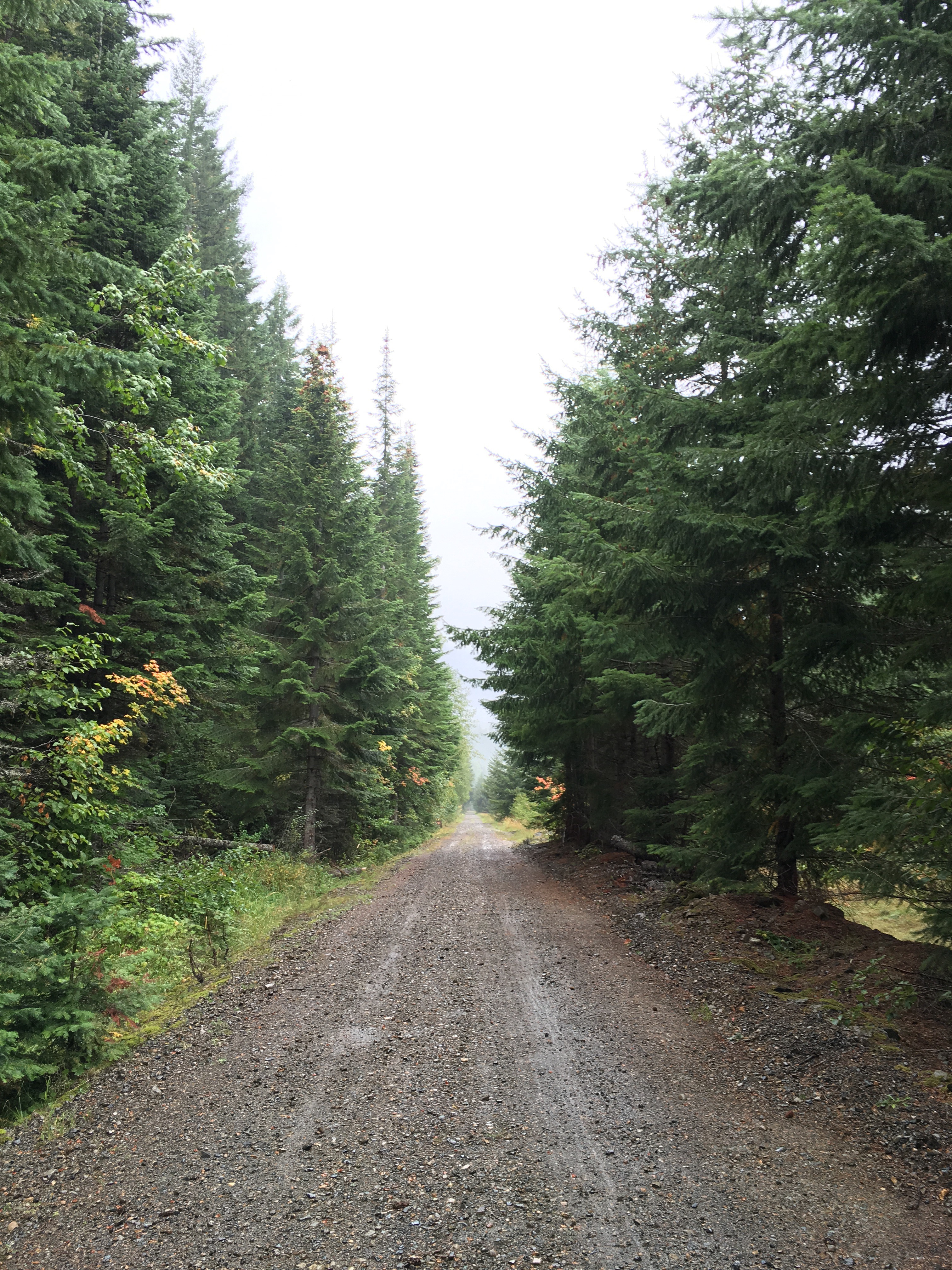
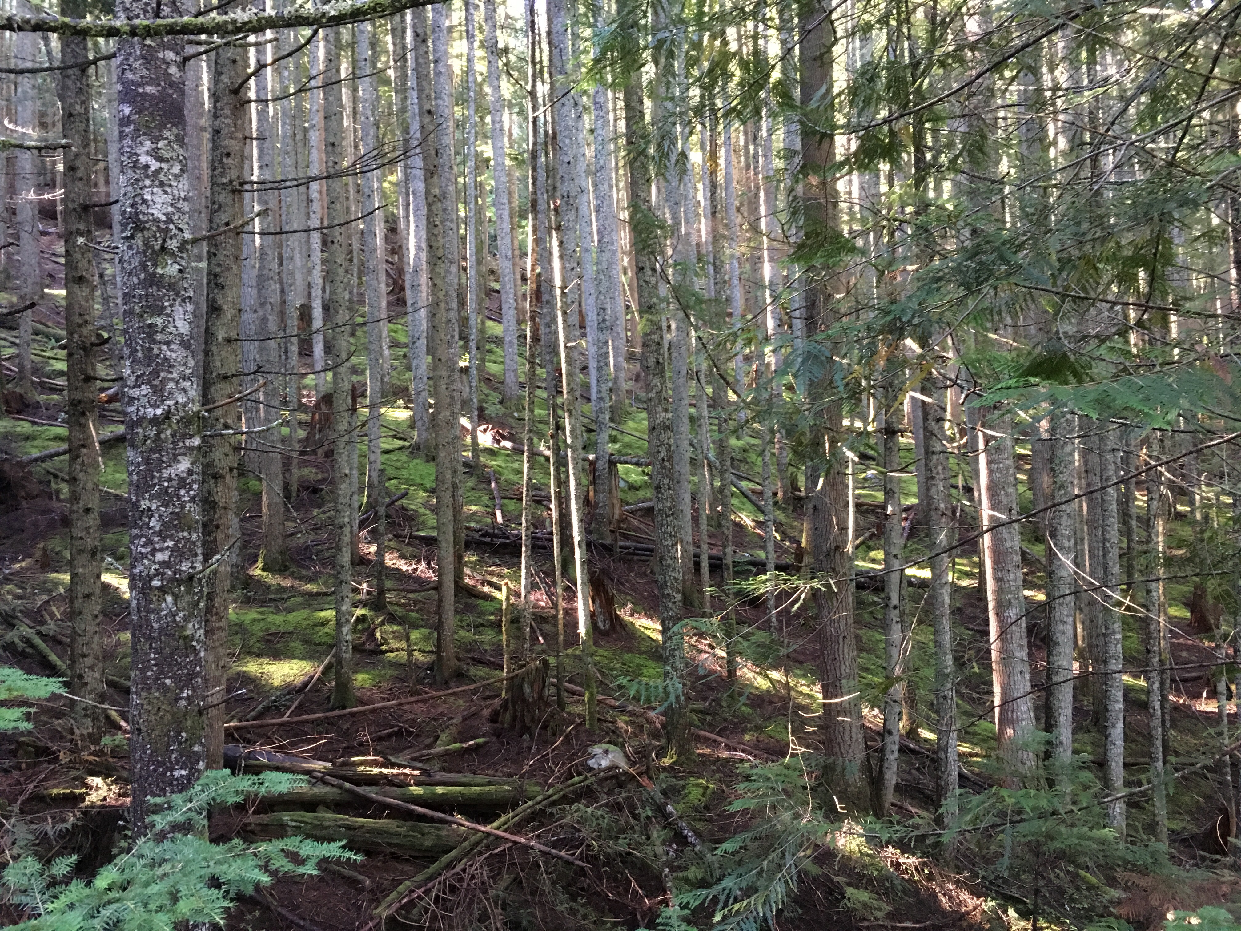
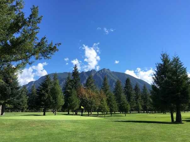
Wednesday morning I walked out of the forest trails and into North Bend. North Bend is on the flood plain of the Snoqualmie River, a fact that you don’t realize until you cross it on foot. Initially I walked through the housing tracts and golf courses that I was expecting, with beautiful Mt Si forming the irresistible background for every shot.

20160921_195638447_ios

But since this valley floods regularly there are a lot of sandy willow chokes that remain scruffy and undeveloped even when they have views like this.

20160921_202437242_ios

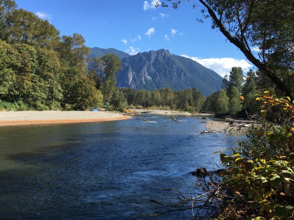
See that blue plastic tarp on the far beach? Not sure if that person is homeless, but he sure has a great campsite while the water is low.

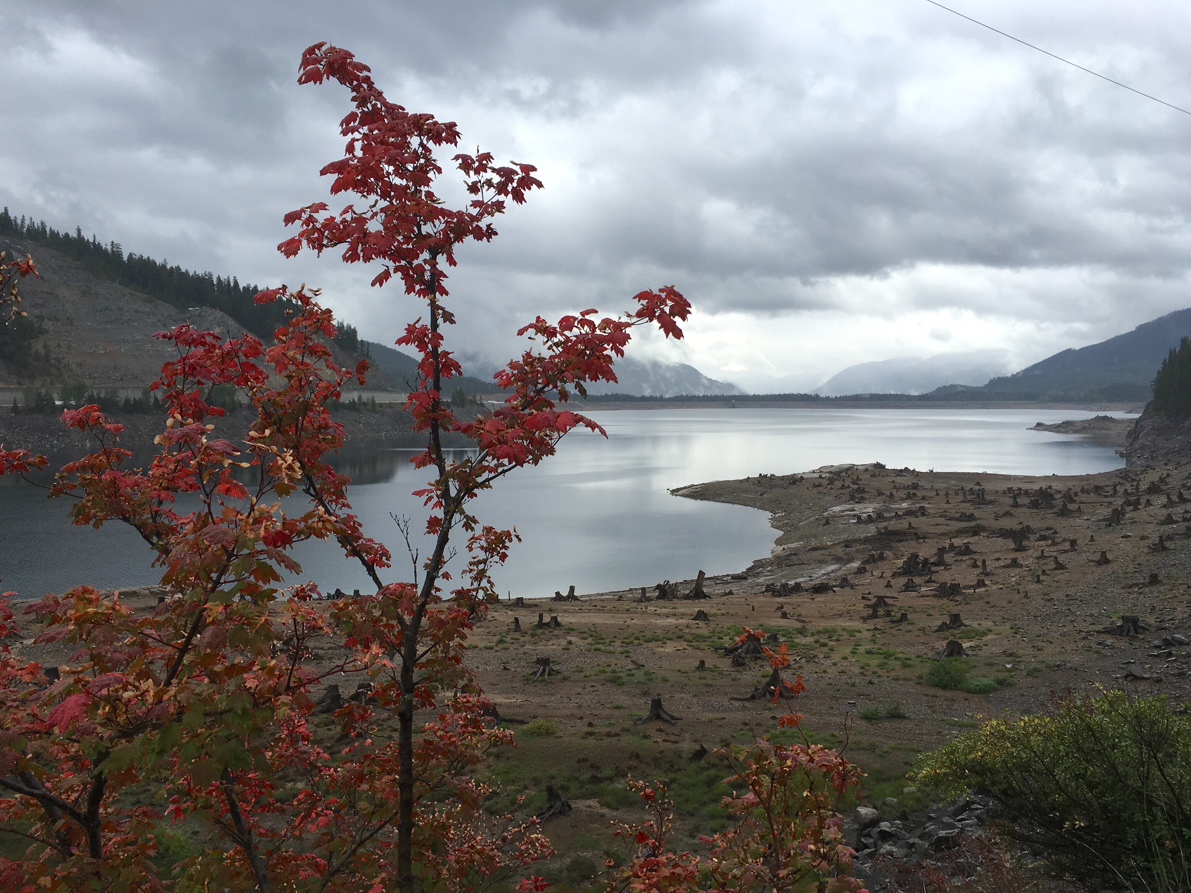
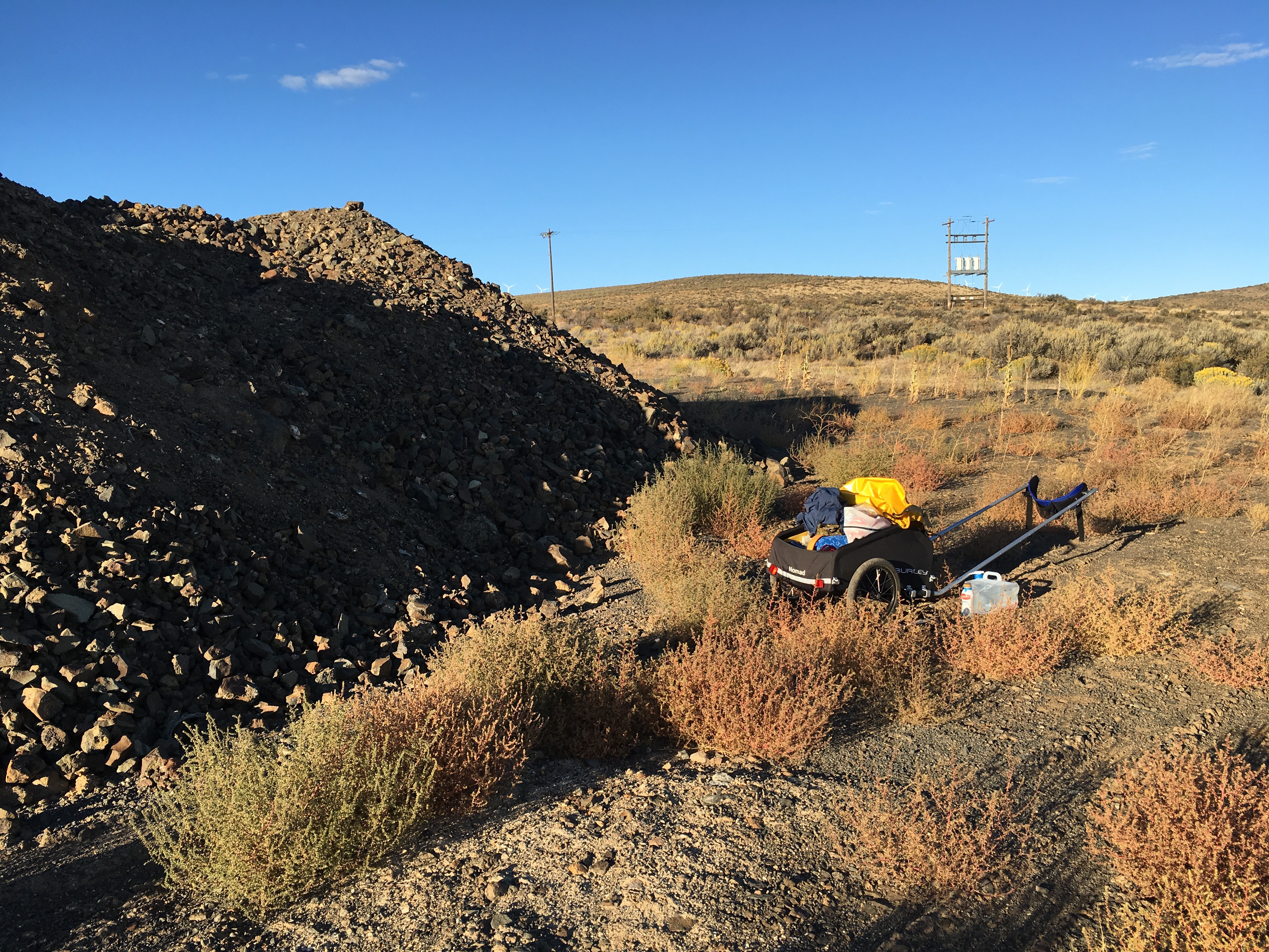
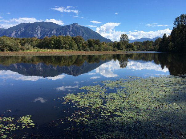
Further down the valley the river has a number of beautiful oxbows (billabongs we would say in Australia) including this one hard up against a gravel mine.

20160921_210445113_ios

I was expecting suburbia,  but thanks to the wild Snoqualmie I got a lot more wilderness than I thought existed in North Bend.

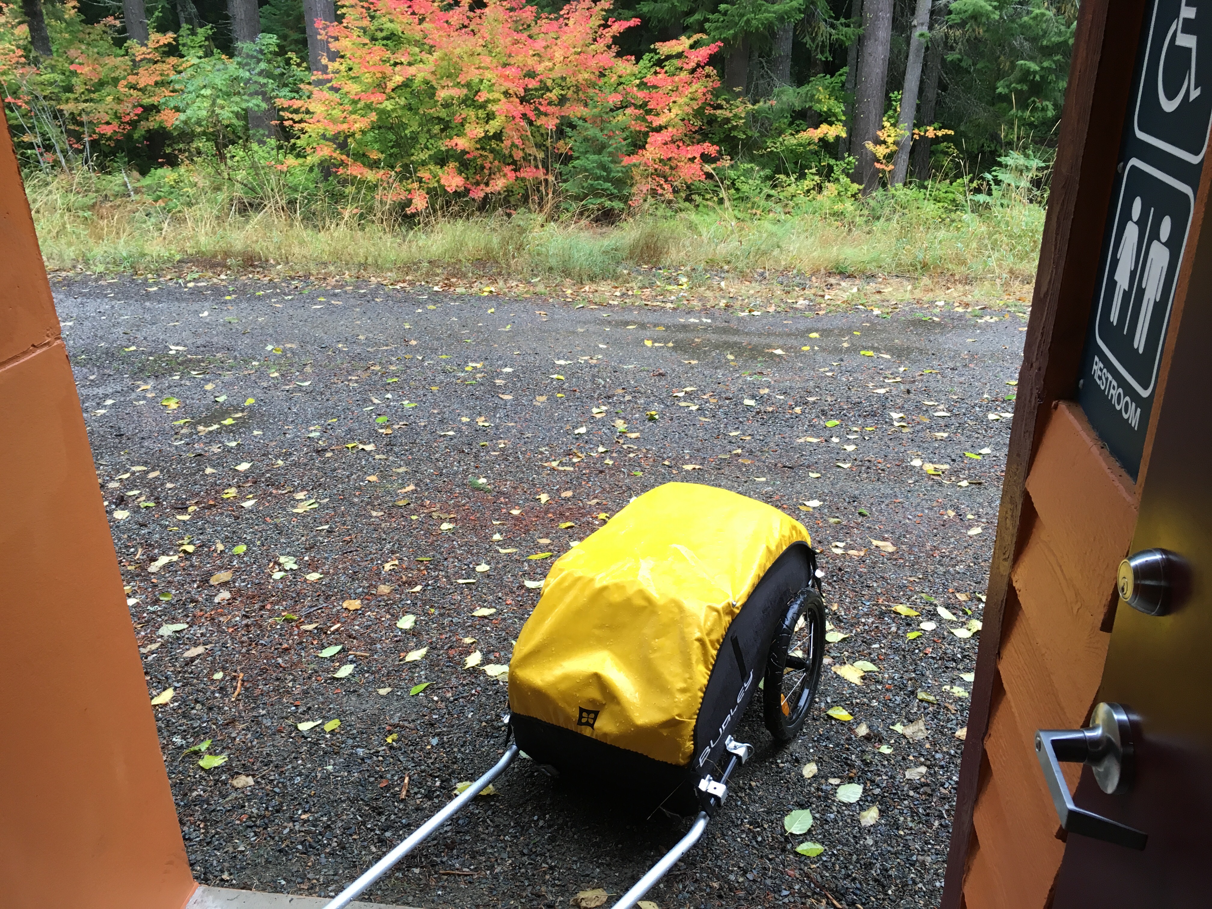
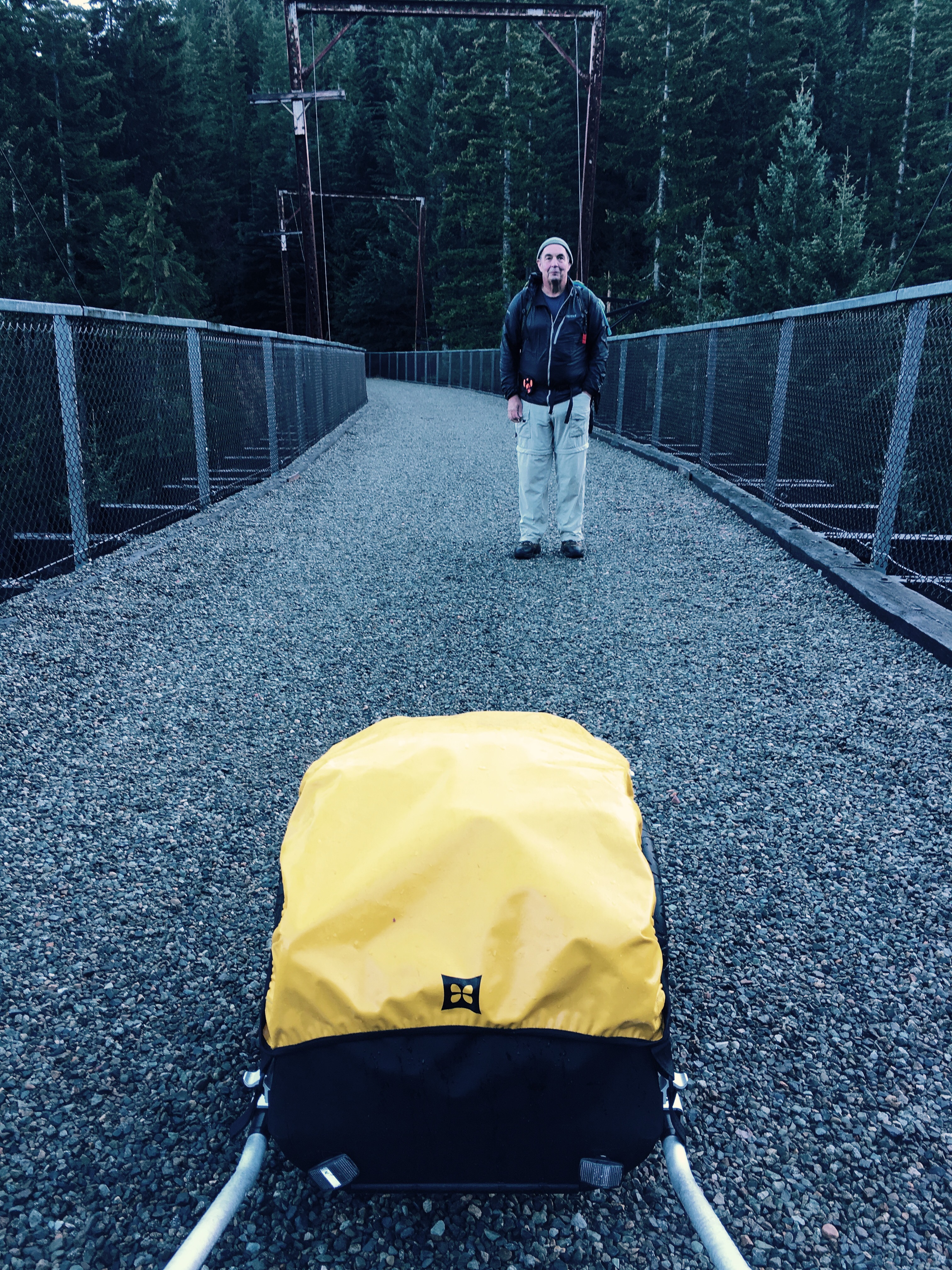
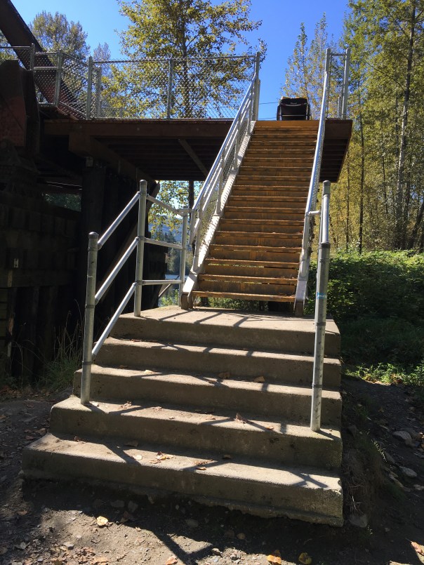
My reverie on the benefits of an untamed river came to an abrupt end when the trail I was walking, set perhaps 20′ above the flood plain, ended abruptly in a very  un-cart-friendly feature.

20160921_203553624_ios

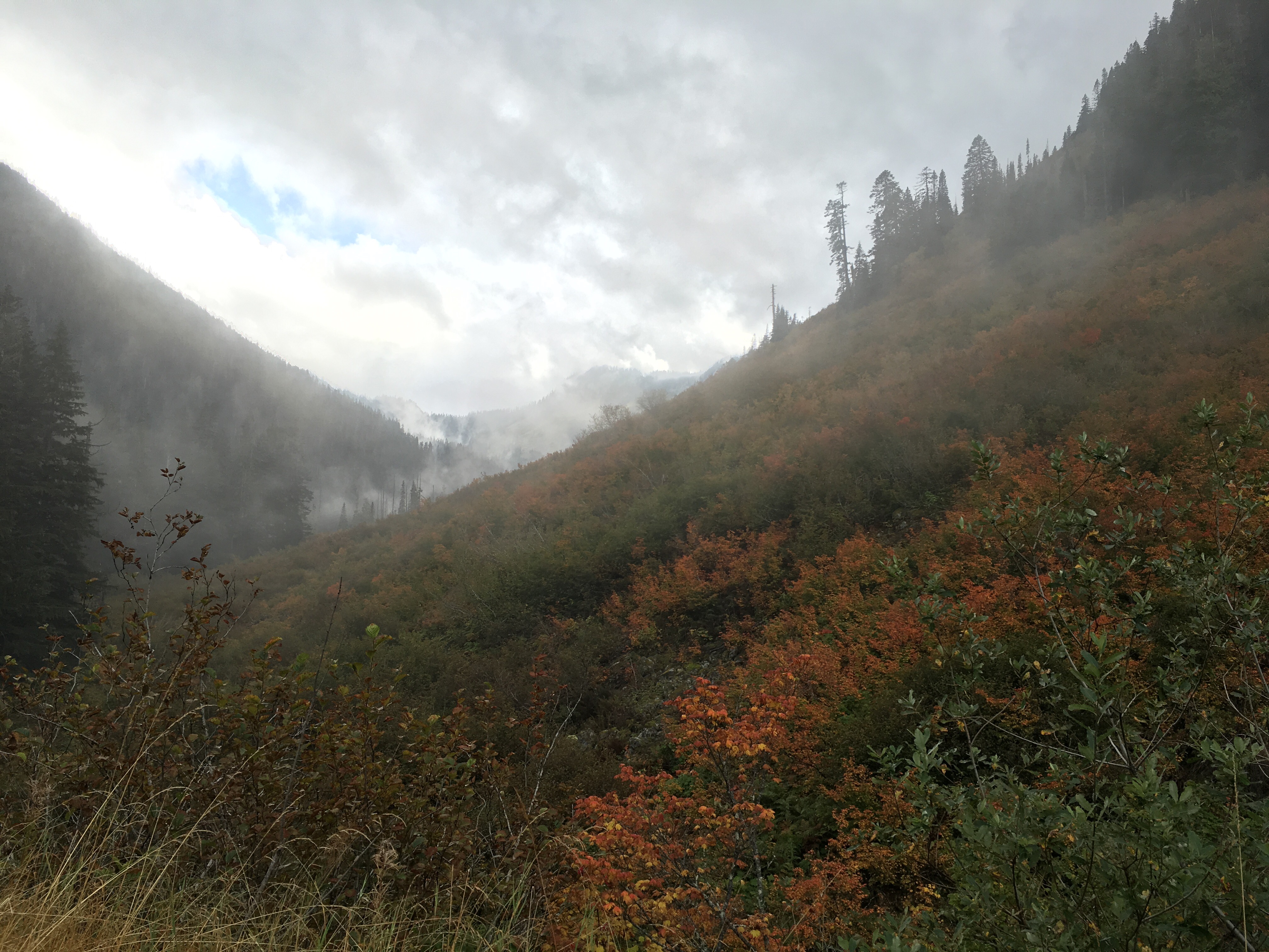
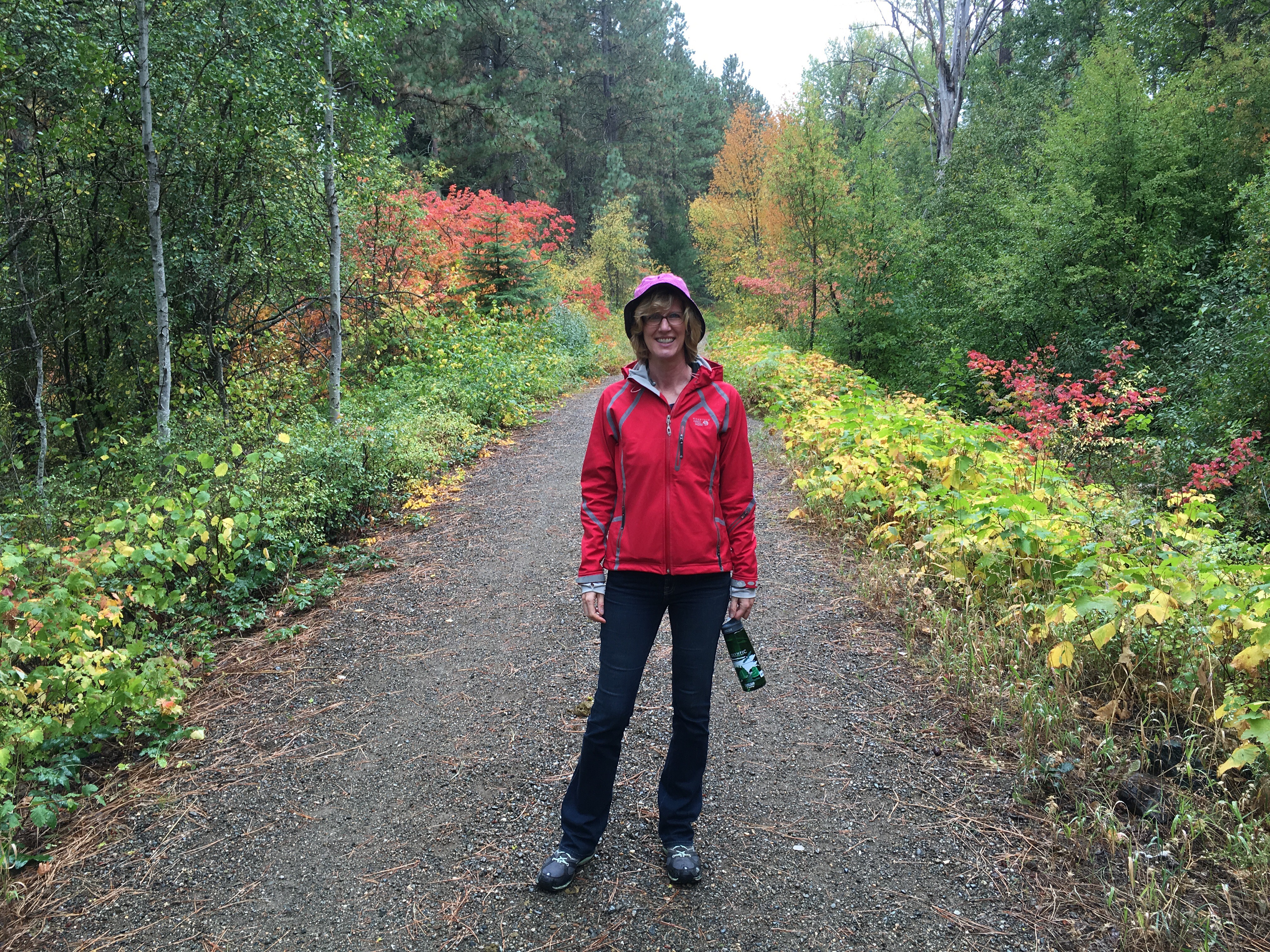
With some careful step-by-step lowering I was able to continue, and next stop was Snoqualmie Falls. I’ve seen Snoqualmie Falls in all seasons, but not with a cart in tow, so I felt compelled to make a little detour on this beautiful fall day.

20160921_213131616_ios

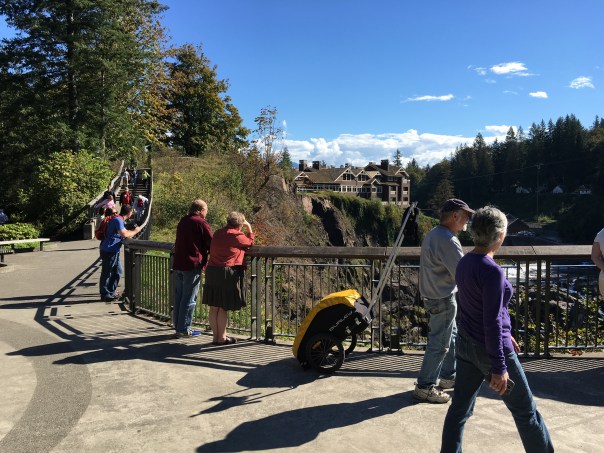
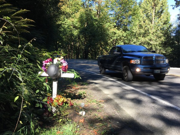
I only had about five miles to go until my rendezvous with my friends Jay and Liza, but the detour had taken me away from a trail and I was forced to walk down the very busy and narrow Snoqualmie-Fall City road. With almost no shoulder and trucks hurtling around the corners, it wasn’t a pleasant place to be.

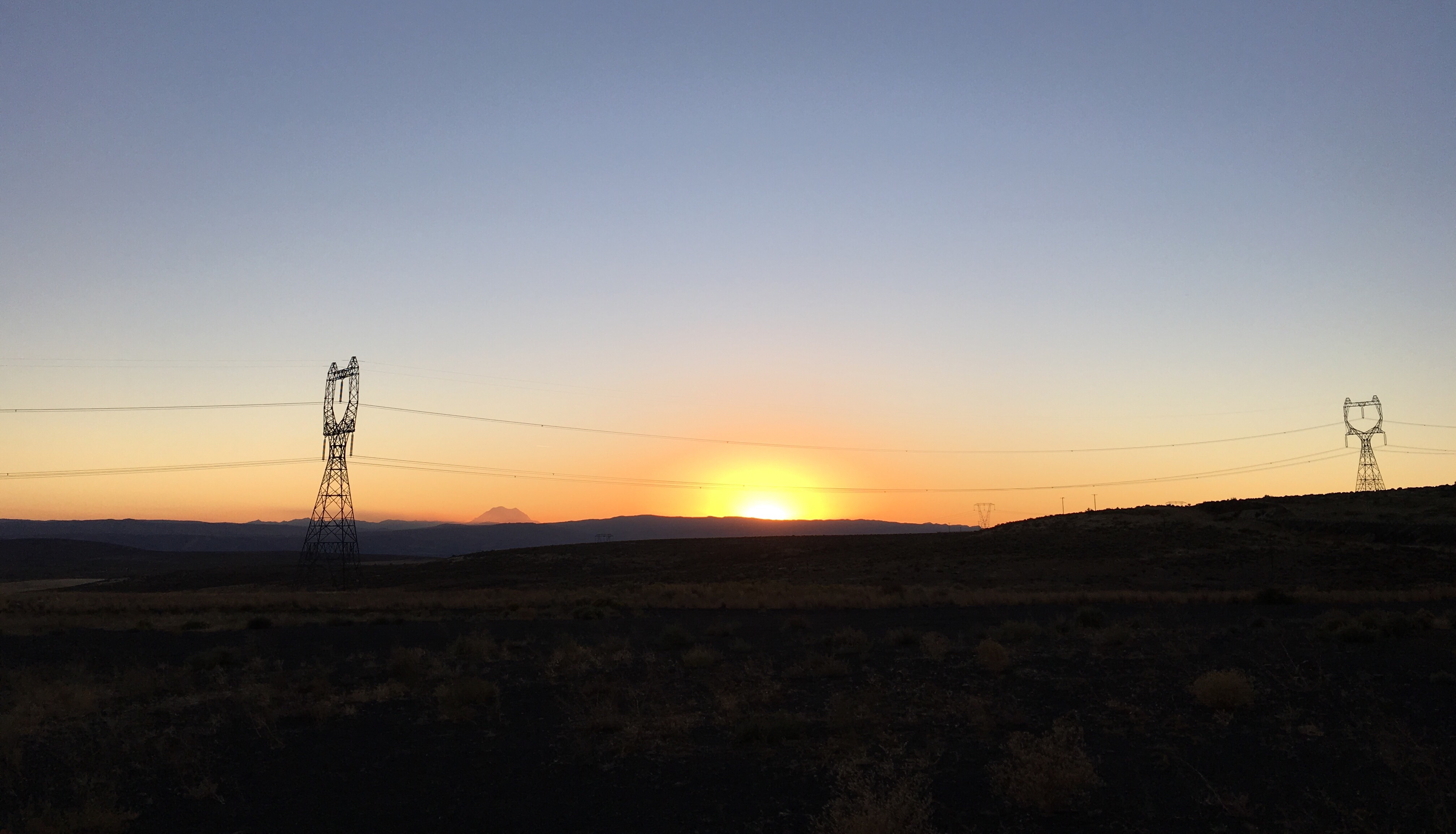
As I neared the bottom I was reminded that not everyone makes it off this road alive.

20160921_220002985_ios

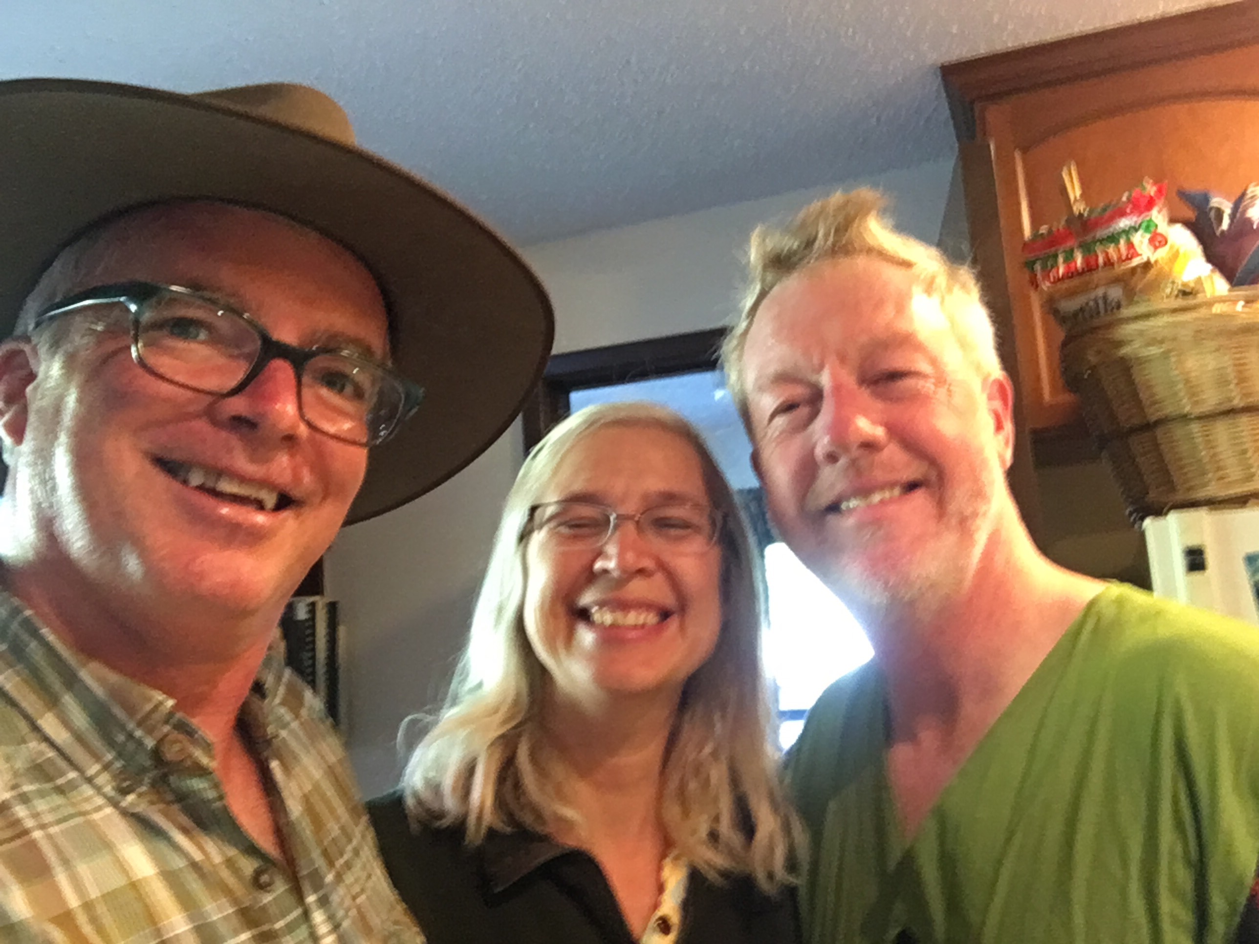
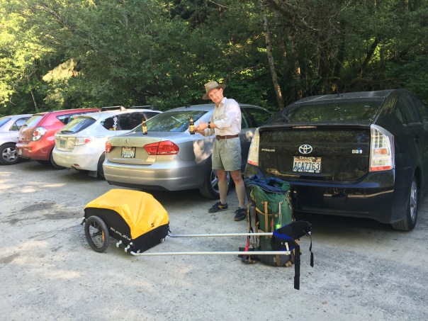
But thankfully I did, and 45 minutes later I was sitting in my comfy chair half way up the hill to Jay and Liza’s place waiting for my pickup. Up rolled Jay with Tug in the back and my good friend Mino along for the ride. Mino, who I accompanied for a small section of the PCT a few years ago, was going to join me for the final two days walking from here.

Like great trail angels they brought cans of beer to the trailhead, and we sat around for a few minutes drinking it while Jay’s neighbors drove by and stared.

20160921_230043968_ios

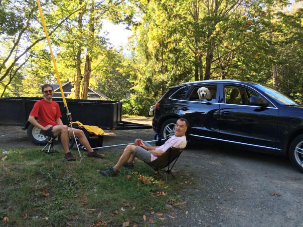
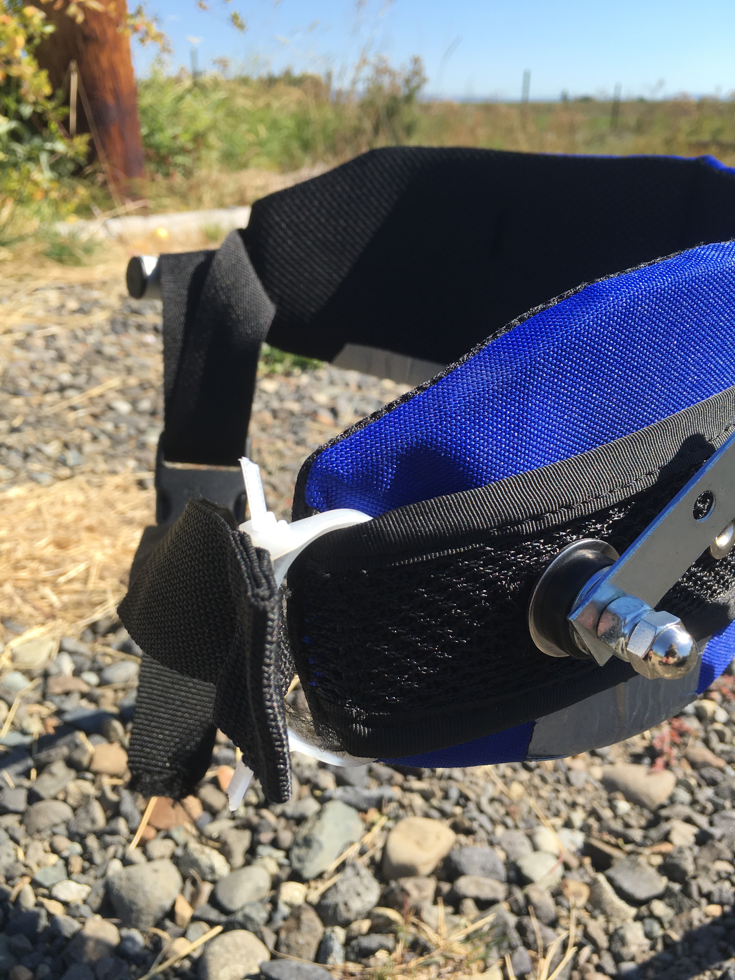
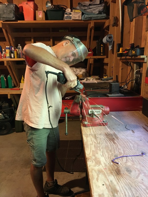
As soon as we were back at Jay and Liza’s place it was time to get into the workshop. Jay was eager to make any repairs the cart could possibly require. He filled my tires back to 45 PSI, and then took his grinder to the metal arms I had attached to my harness, smoothing off the corners so they wouldn’t catch on my clothing as they had been for the last 100 miles.

20160921_232453173_ios

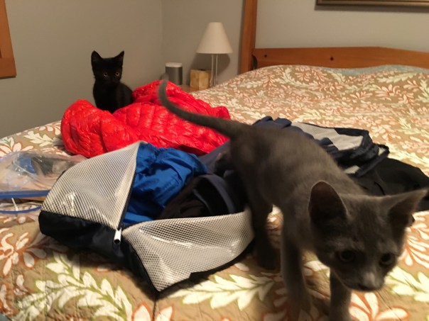
Jay and Liza currently have three dogs and two kittens, and the kittens have yet to see a cupboard or a package that they don’t try to get inside.

20160922_001234248_ios

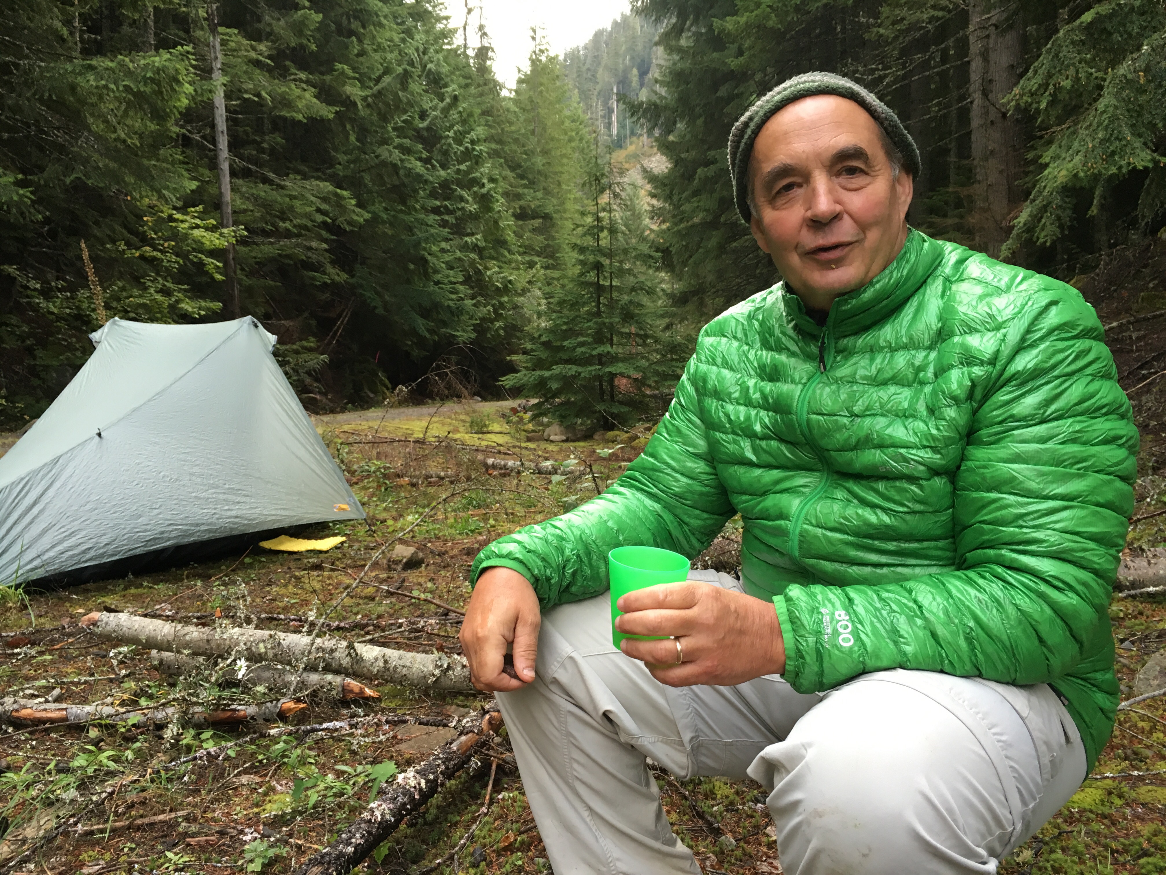
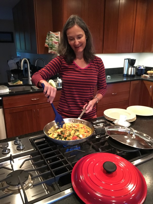
Liza made us a delicious paella and then treated us to a goat cheese scramble the next morning, which really set us up for the long day ahead.

20160922_150701561_ios

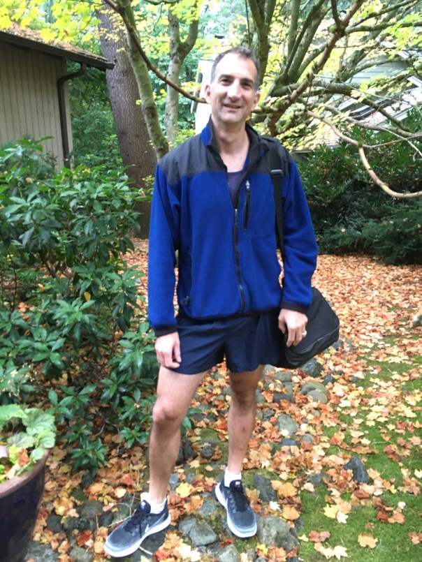
Day 11 was to be the longest day yet. We had to go all the way from the far side of Fall City to the Bridle Trails neighborhood of Bellevue–about 23 miles. Luckily, I had my PCT-strong friend Mino along for whom this wasn’t a problem.

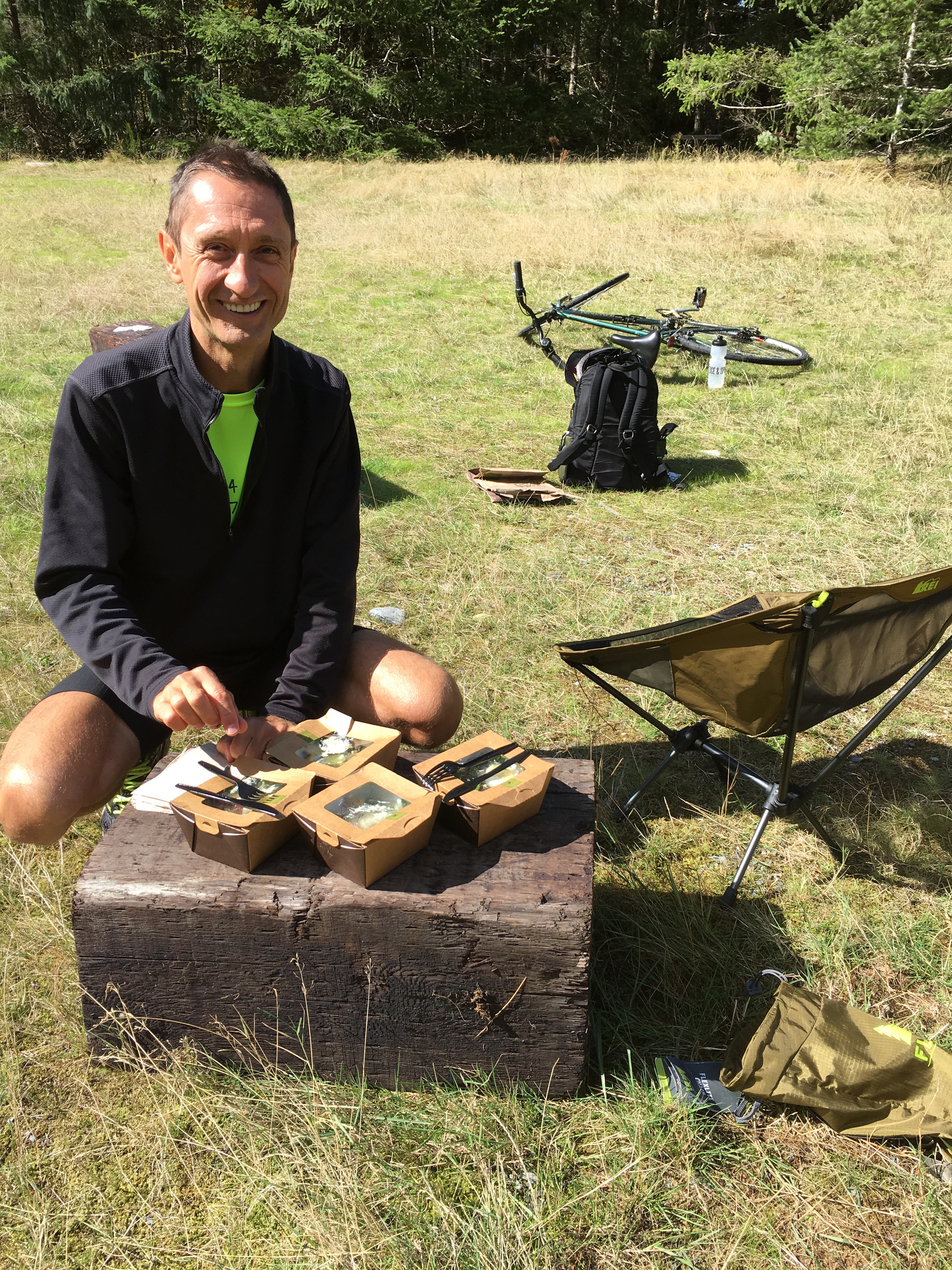
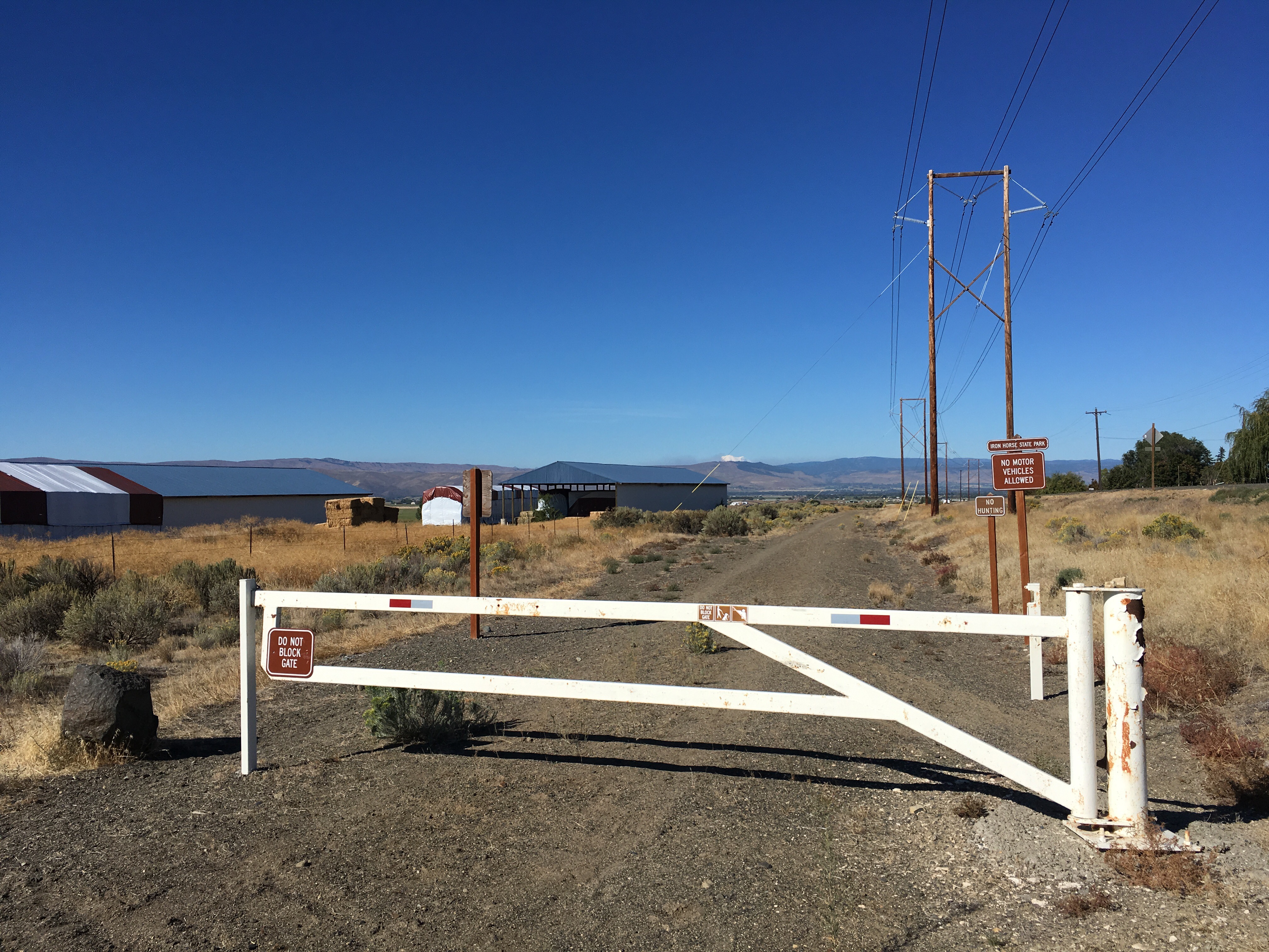
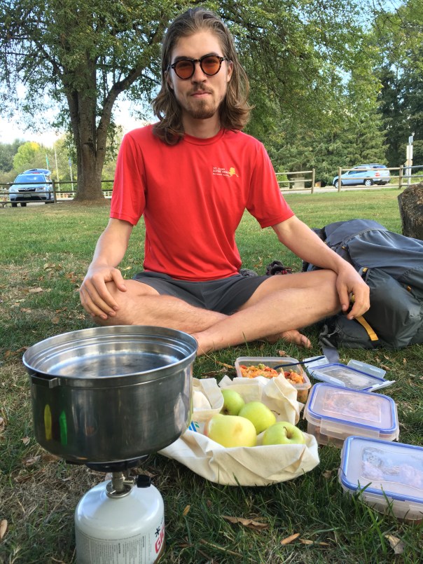
It started poorly. Almost 6 miles of busy road walking was required to get to Preston. After that we had some shady trails between Preston and Issaquah, and by 1pm we had done 13 mile and stopped for lunch at Lake Sammamish State Park. We were fortified by leftover paella and homegrown apples, thanks to the ever thoughtful Liza.

20160922_203336299_ios

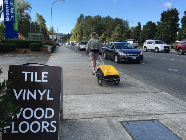
And there was no denying that we really were in suburbia now.

20160922_200853000_ios

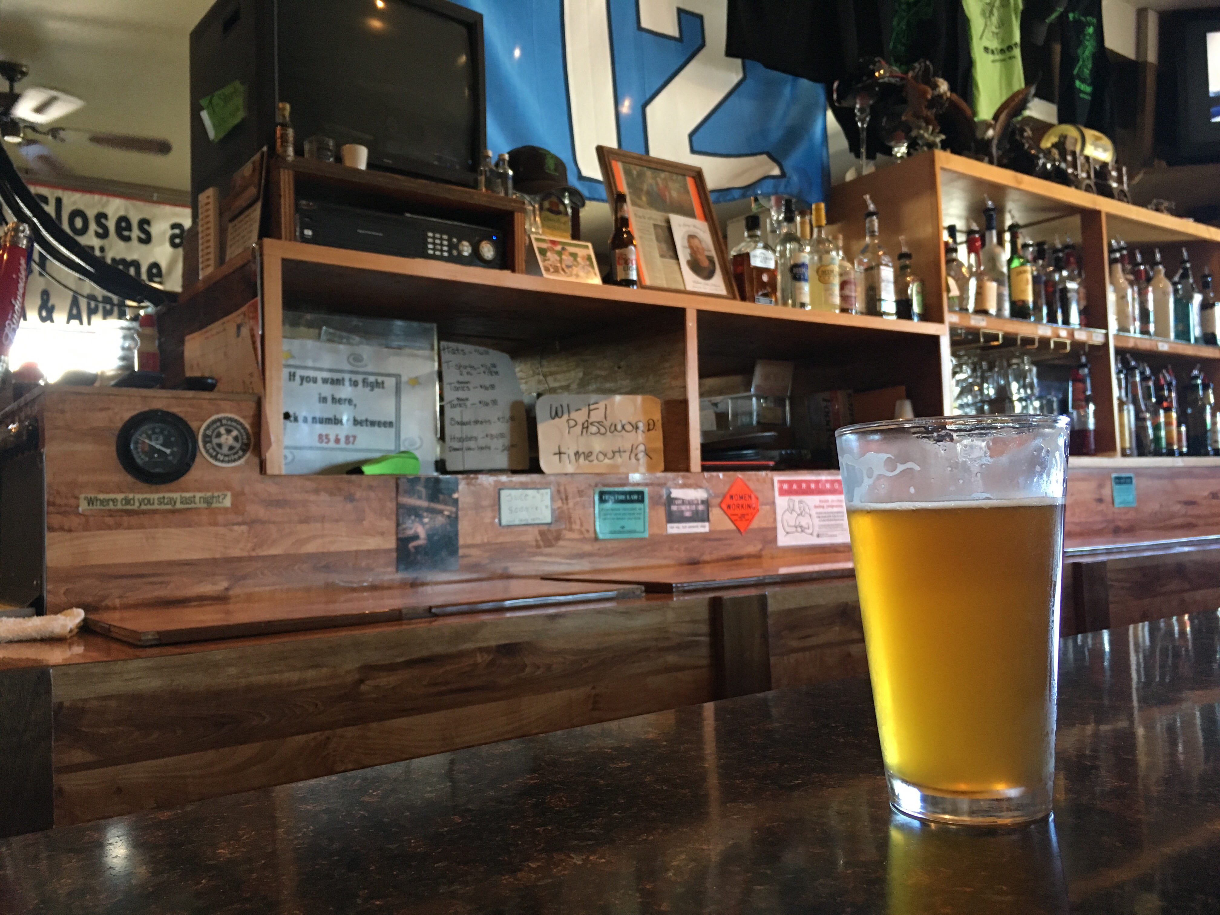
We trudged on through the beautiful afternoon and made it to my friends’ John and Susan’s house by 5:30pm. Beers on the deck with John, followed by a Mediterranean feast and topped off by one of Susan’s famous apple pies. It’s enough to take your mind off your sore feet.

20160923_021202398_ios

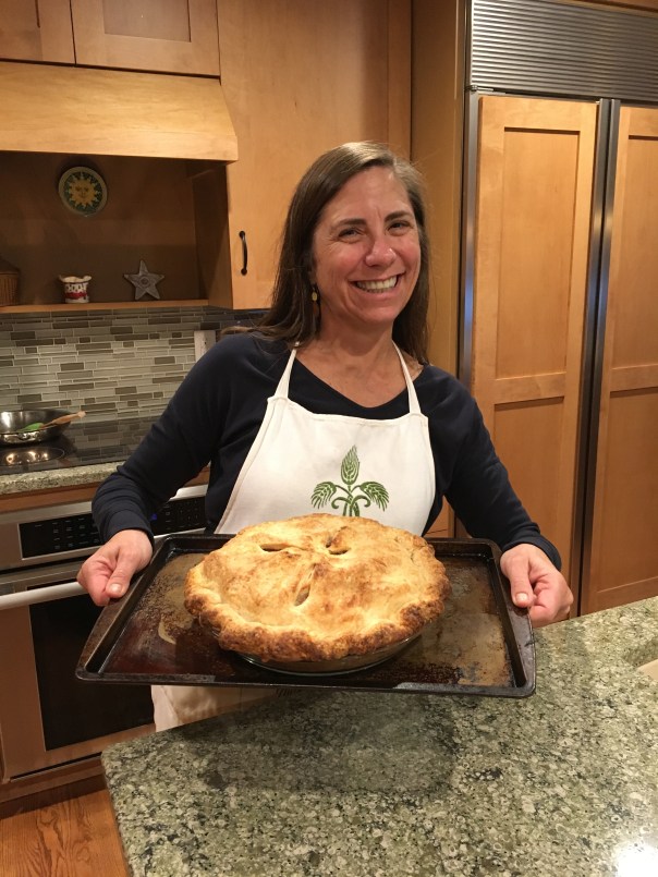
In the morning we left as John and Susan were heading for the gym, but not before we were fortified with another slice of Susan’s pie.

20160923_151935206_ios

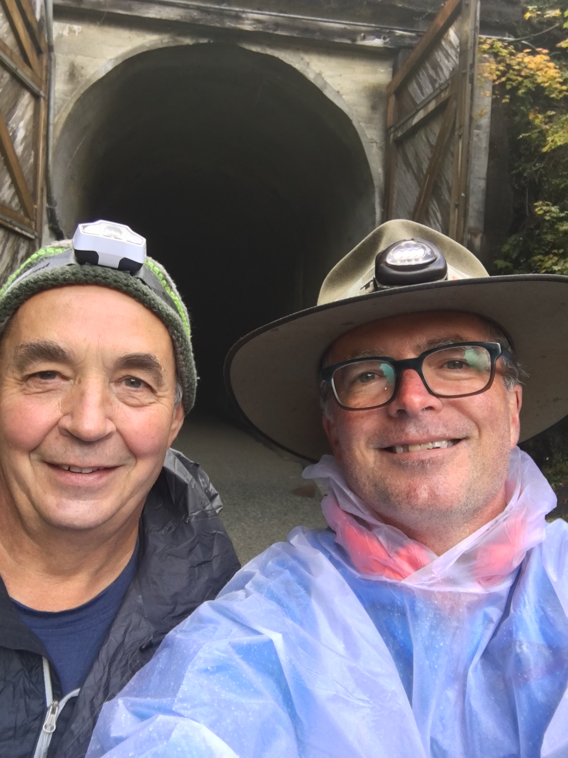
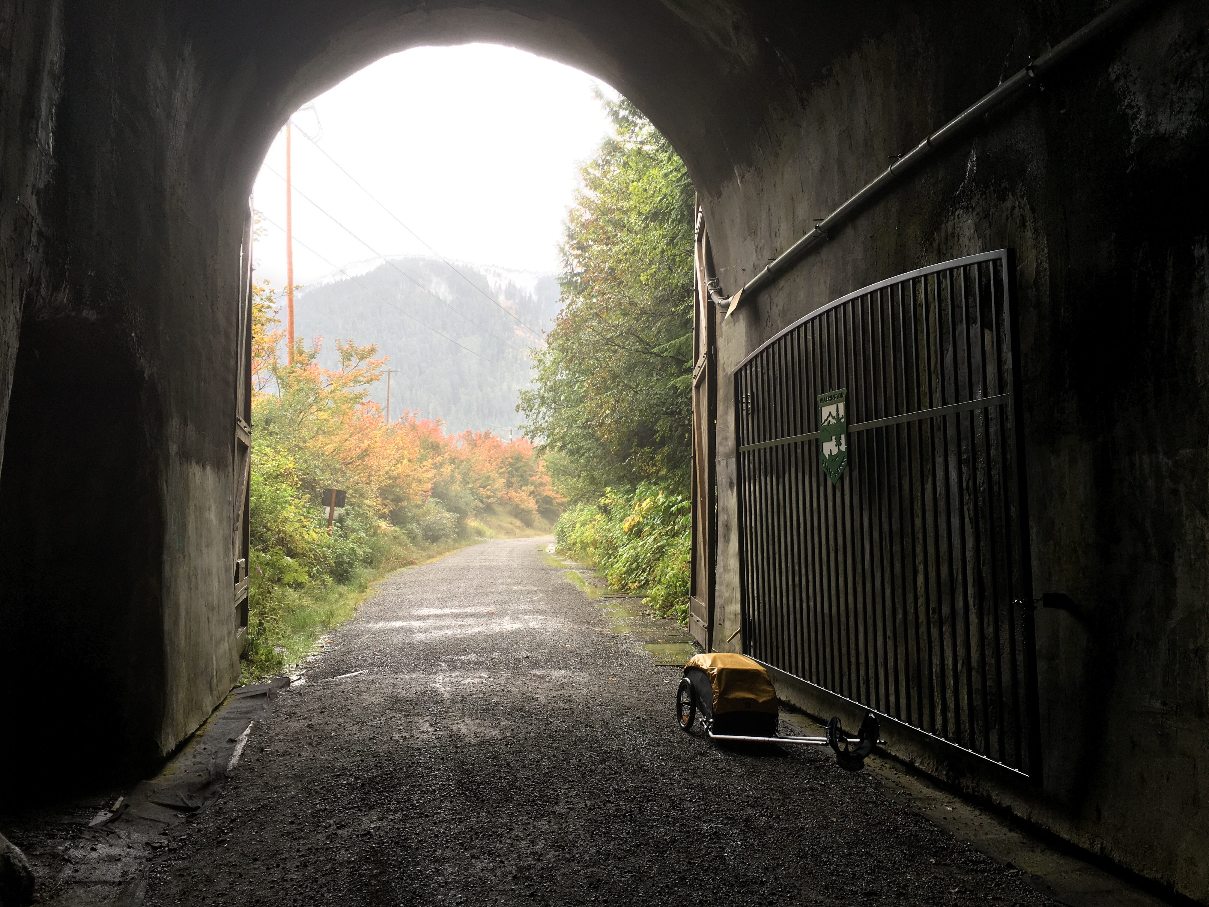
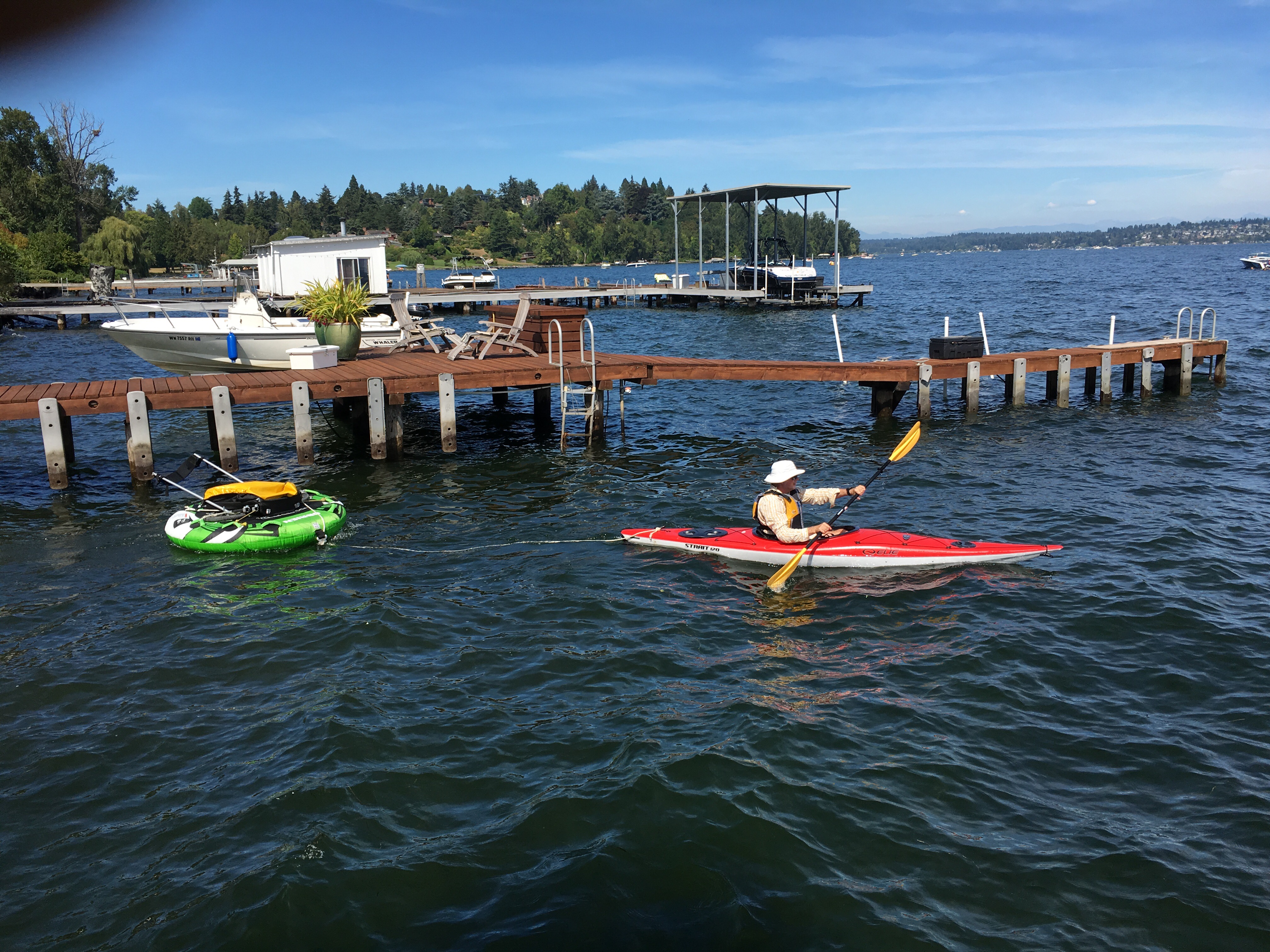
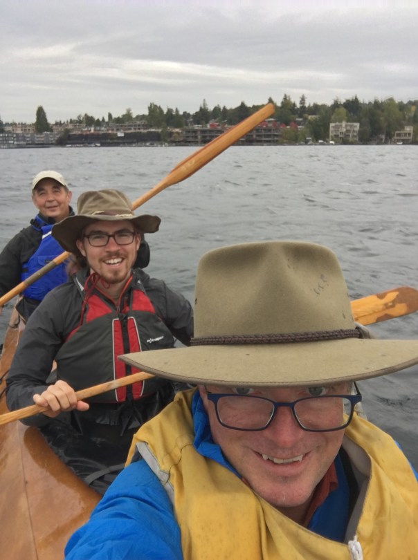
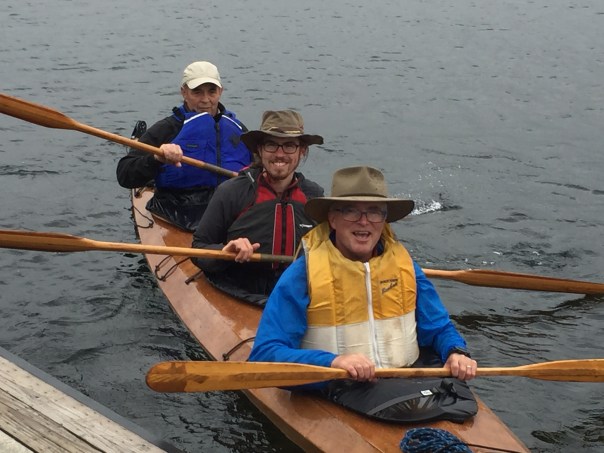
Friday, day 12,  was the big day for crossing Lake Washington, and the weather forecast was a little iffy. Winds started off light, but built up as we got to Marsh Park in Kirkland where we were met by Roger (of the tunnel, see day 8) and Nancy carrying the three-person kayak on top of their old Volvo station wagon.

20160923_170208733_ios

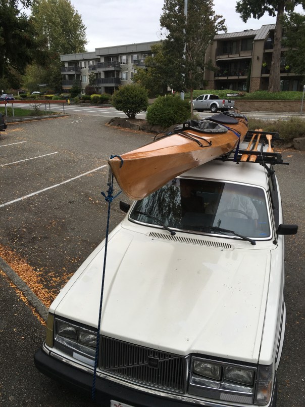
Roger built this wooden kayak himself. It’s beautiful and very stable. He took pleasure in putting me up front with the “child’s paddle” so I couldn’t do too much harm, while he and Mino provided the power to push us the mile and a half across the increasingly choppy water to Magnusson Park.

The wind was coming from the South East, and built up as we got far from shore. I didn’t get too wet in the front, but I think Roger took a few waves in the face at the back of the boat. He didn’t complain about the conditions, just my poor paddling form.

20160923_173804606_ios

Nancy arrived with the Volvo at the same time as Chris, just as we were pulling in to the dock at the sailing center. We’d made it!

20160923_182544345_iOS.jpg

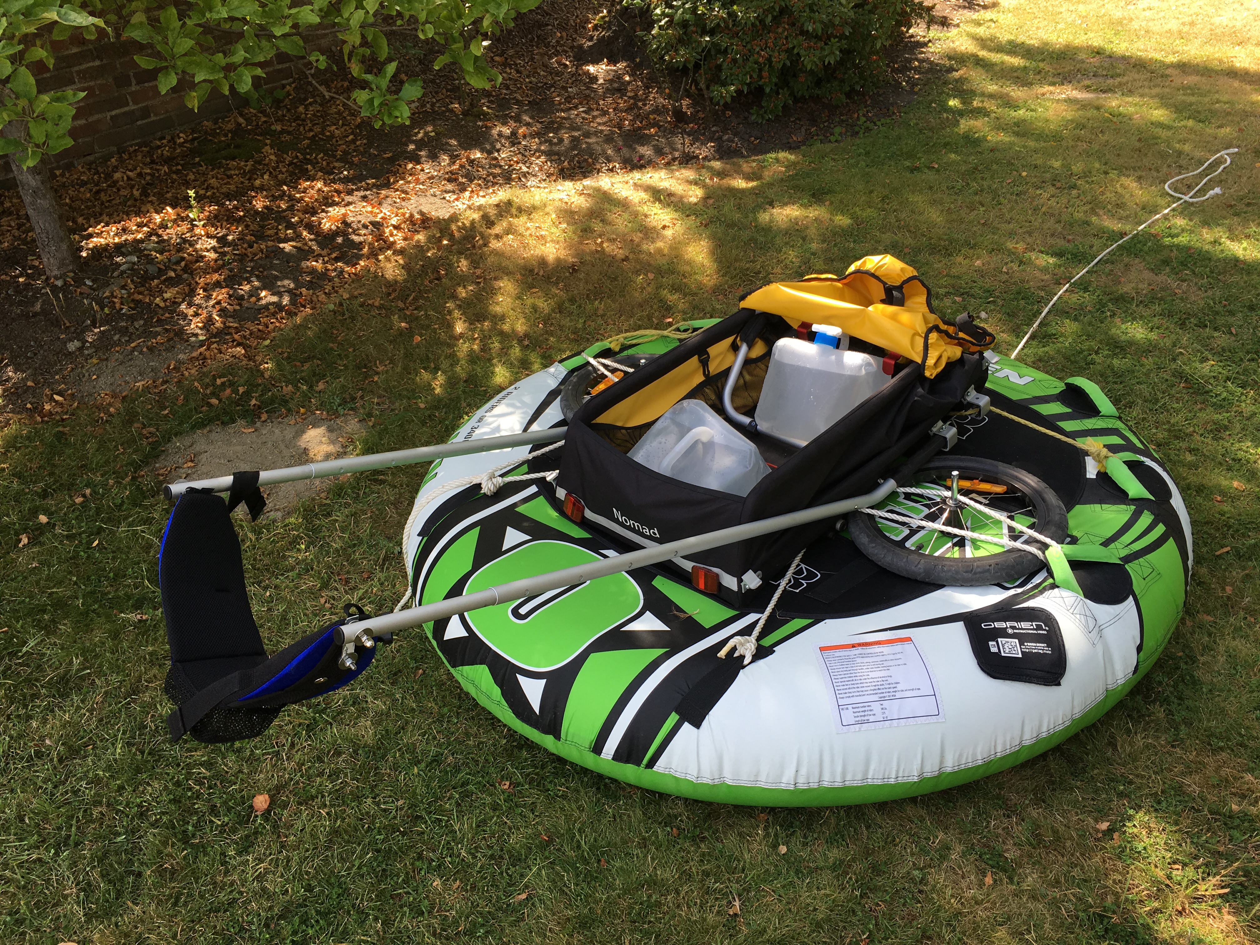
Given that the conditions were a little rough, its a good thing we decided not to try to tow my cart across the lake behind us. That might well have been the end of the cart, and its job was not yet done.

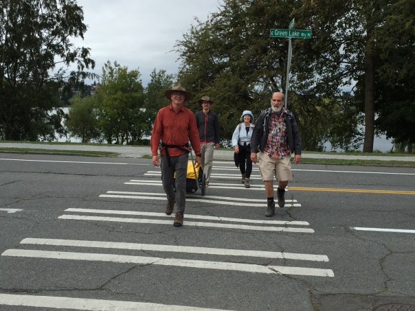
On the rather desolate dock, we had a “boil” (as the old Antarctic explorers used to call it) with my friends Woody and Barbara who had come to meet us and walk the last miles home to Green Lake. Woody insisted on pulling the cart up the steep streets leading west from Magnuson Park, and surely made the first man-hauling ascent of the notorious Mt Wedgewood.


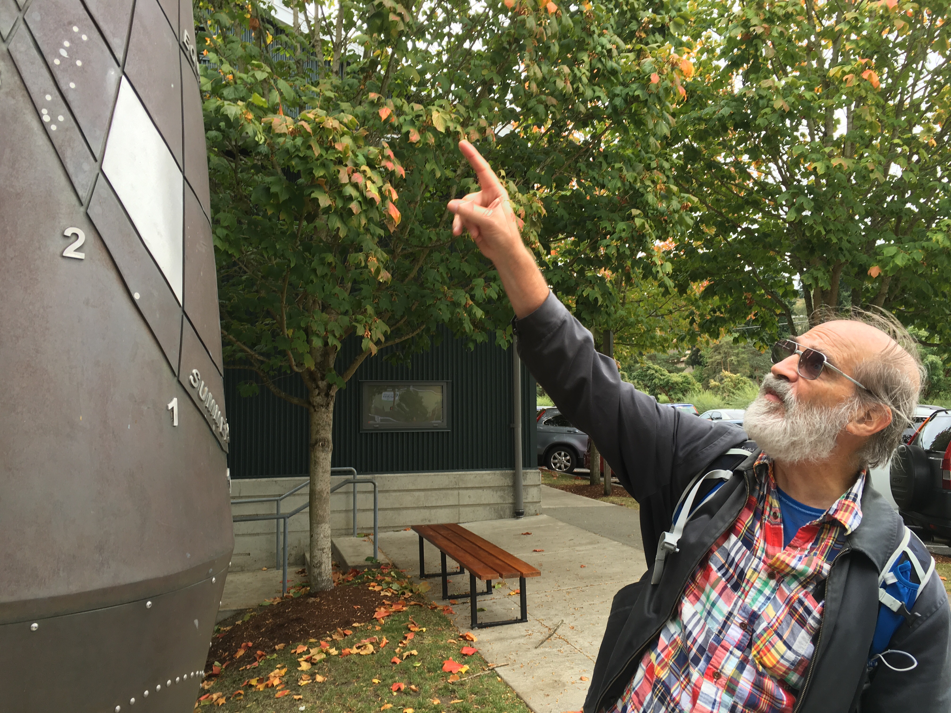
Woody also led us on a detour to see the sundial at University Prep school that he designed in 2001. It is a scaled-up model of a  “sheppards dial” design, which were small and portable, the mobile time-piece of their day.

Only two more miles to go, so the four of us struck boldly out for Green Lake and were photographed by Chris as we crossed the final street.

20160923_221448702_ios

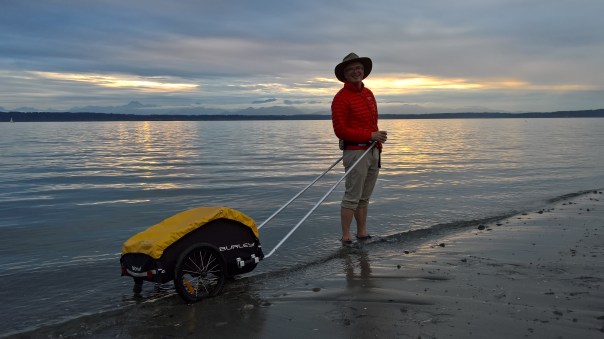
That was Friday. All that then remained was Saturday’s final walk of five miles to Golden Gardens and a sunset gathering with friends to celebrate my successful semi-transit of the state.

20160925_011820963_ios

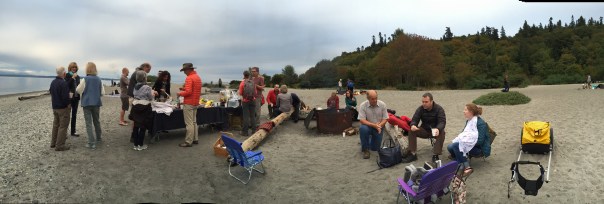
As the sun was sinking over the Olympics, I cooled my feet and wheels in beautiful Puget Sound, and tried hard to thank everyone who helped me with this slightly preposterous achievement.

wp_20160924_18_37_45_pro

For the record: Neil and Tamara were very generous hosts to me in Ellensburg. Peter flew out there to spend a day and a half with me. Sonja drove up to rainy Cle Elum for a hike with me. Kelli and Curt entertained Chris and I in style, and Curt escorted me back to the trail in the morning. Roger somehow cleared the rain by his presence at Snoqualmie Pass, Nancy came and shuttled him back to his car. Herve brought me a delicious lunch on marathon-tired legs. Jay and Liza took me in, pumping up my tires and my spirits. Mino helped me slog through the toughest day with his usual grace and good humor, and volunteered for innumerable odd jobs before, during and after our walk together.  John and Susan plied me with pie, Oban scotch and the best blister treatments I’ve yet had. Roger and Nancy teamed up to get us across Lake Washington, and provided the firewood and the recipe for the restorative Fish House punch we served on the final evening. Finally, Woody and Barbara overcame my poor directions and found us at Magnusson for the march to Green Lake. Wow!

And most of all, I want to recognize the forbearance and support of my darling Chris. She was in the final weeks of preparing for her biggest art opening in a couple of years when all this went down, and yet somehow she managed to get me to the starting line, visit me three times on the way back, and help me with the party at the end. You’re the best, honey!

I sit here the day after the end feeling so thankful that I got this trip done, and even more thankful for all the love and support I got from my friends and wife to make it possible.

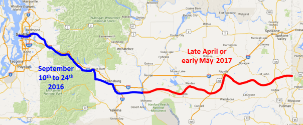
I’m still planning on completing the eastern half of my walk next spring. More details in a few months.

Till then,

The Walker.


Advertisement

Days 8 and 9: Trail Mates and Trail Magic

The rain plinked gently on my cooking pot Monday morning as I heated water for my breakfast. It developed into a good soak after I broke camp and began trudging the 12 remaining miles up to Snoqualmie Pass, the gateway to the wet west. It seemed the west had come to meet me today.

For a while I took refuge in the shelter of one of the great new outhouses the state Parks department have recently added to the trail.


The trail was lined with trees, and the going was pretty good with my poncho and my trusty Akubra keeping me dry.


The rain let up a little as I walked past the exposed stumps of Lake Kacheelus…


… and finally into the Hyak trailhead where my friend Herve had started a spectacularly fast 3:17 marathon just the day before in weather very different. The portable toilets brought in for the event still stood witness.


The wind was blowing and the rain was showing no sign of relenting. So I called my friend Roger who was to meet me there and encouraged him to bail. He was already en route and wouldn’t think of changing plans for a little inclement weather. I retreated to the delightfully warm and dry trailhead restrooms to await his arrival. 

As Roger arrived the rain slowed and soon stopped completely. I may not have received a trail name yet but Roger  was designated  “Lucky” by the end of the day because while he was with me we got no more rain.

Less than half a mile west of Hyak is the Snoqualmie  tunnel. At 2.3 miles it is surely the longest trail tunnel in the United States,  if not the world. It was built to cut off to top 400′ of  Snoqualmie Pass for the trains of the Milwaukee-St Paul Railway in 1913. 


It is almost perfectly straight. After you’ve gone less than a quarter of a mile you can see the exit as a tiny dot in the distance. It looks just like an oncoming headlamp.

Out of the tunnel we were properly west of the divide, and the mist competed with the autum colors to put on a show for us.


After about five more miles it was time to camp and choose our color-coordinated scotch cups.


There’s only one thing Roger loves more than the outdoors, and it’s  ultra-light outdoor gear. His stove is ridiculously small, and he has cut off the end of his plastic spoon to save 1/2 an ounce.

But damn! his gear is effective. And when he wants to gets rid of a tent or a pack I often buy it from him, so I shouldn’t make fun of him. I do not think however, that I’ll be buying his spoon when he moves on to an even lighter model in the future.

Tuesday dawned clear, and as we continued our way westward the sun shone through the trees.


The engineering of this old railway line is quite amazing. We crossed a handful of big embankments across small valleys, and four tall trestles over larger ones.

By 12:30 it was time for Roger to leave me. His wife Nancy was waiting at a trailhead a few hundred yards below our trail.

As I parted ways with Roger I started thinking about where I’d have my rather meager lunch, and before I had walked more than 100 yards I was almost run over by a guy on a mountain bike, pedaling hard with his head down.

It was none other than my marathon mate Herve, somehow recovered enough to come surprise me and bring me the best trail magic lunch I could have imagined.

Wow. What a friend. It started with multiple serving of  a chicken-arugula salad

… then moved on to croissants from a really great French backery in Redmond


After we  rested in the sun and digested all this goodness, Herve left me and I walked the last few miles of the Iron Horse Trail into Rattlesnake Lake. 

What a beautiful afternoon it was. My feet still hurt, but I was feeling blessed to have such good friends as Roger and Herve.


Now that I was in the Seattle exurbs, I had to be a little careful where I camped. Camping at Rattlesnake Lake isn’t permitted and there appeared to be enough county employees around to chase me off if I tried it. So I meandered a mile or two down the Snoqualmie Valley  Trail only frequented by bike riders and horse riders.

And here I sit, watching the pink drain out of the sky, and downing the last of my scotch alone. Not lonely, but looking forward to the change of pace ahead. 

Somehow it’s already my last camping night of my trip. Tomorrow and Thursday I stay with friends in Fall City and Bellevue, and Friday I arrive home. It’s all gone very quickly. I will spare you a grand summing up until I actually understand what it all adds up to. 

Days 6 and 7: How Did We All End Up Here?

A gentle drizzle greeted me when I woke on Saturday morning a little east of Cle Elum.  Before I pulled out of my snug but unlovely campsite I took this panorama.


By 9am I had crossed under I-90, the mechanical river that is my unwitting companion for most of this trip, and made it to Stellas in Cle Elum where I had an excellent veggie scramble and coffee.

There I chatted with a woman was there for breakfast. 

“Nice town, Cle Elum” I ventured.

She squinted. “I grew up in Ellenburg and used to drive by Cle Elum all the time” she said dismissively. “Who’d have thought that ten years later I’d be living here” she said with a sigh. “Been here 20 years, but of course the locals still don’t accept me.” With that, she returned to her biscuits and gravy.

Stella’s filled up and I felt bad about holding down a table so I went outside to wait for my friend Sonja who was to accompany me on a short walk to Roslyn. The rain picked up a little and I got to try out my $4.95 poncho.


Soon Sonja arrived and we set off down the Coal Mine Trail to Roslyn.

Coal is the reason that Roslyn exists, and the Coal Mine Trail is what used to be the rail spur that took the coal out the main line. Gotta love these rails-to-trails!

Sonja was a great friend to drive all the way from Seattle for a 4-mile hike in the drizzle.


It was pretty though. Autumn was coming to the vine maple as we passed by.

Sonja and I discussed how much random chance affects our lives. I have lived in America for 30 years and will probably die here mostly  because a professor at Berkeley, who I happened to meet in 1985, said “You should apply to the Comptuer Science graduate program with us.” I did; I was accepted; and that was that.

Sonja’s husband Steve had a similar experience. Sitting in his high-school counselor’s office, Steve was helping the counselor sort through his mail. A postcard for a scholarship for study abroad in Japan was amongst the mail. The counselor flicked it to Steve and said “You should apply for this.” That trip to Japan opened Steve’s eyes to the world, and changed his view of his possibilities entirely.

In Rosyln we checked out the memorial to all the men killed in the mines. There were about a hundred of them over the relatively short life of the mine. We live in a much safer time.


We had a great lunch at the Roslyn Cafe while waiting for Chris (known as Mrs. The Walker in this blog). 


Chris arrived, had her own excellent burger, then we drove Sonja back to her car. Then it was on to our old friends Kelli and Curt at Suncadia.

Curt works in aerospace and makes a great business in brokering the launch needs of companies who want to put satellites up with the launch capacity of all the space programs in the world. We discussed Neil Stevenson’s Seven Eves, which features hundreds of pages about orbital mechanics, a topic critical to everything Curt’s company does. Why Stevenson is so fascinated with it is a little beyond me.

A delicious meal of quesadillas and baked berry desert, and then it was hiker-bedtime for me.

In the morning I kissed my sweetie  goodbye again, and Curt escorted me the 2.5 miles to the Iron Horse Trail on the other side of I-90.


The trail west from Suncadia  stays close to my old friend I-90 for the 10 or so miles into Easton. It was beautiful open grasslands only slightly marred by the roar of traffic close by.  


After Easton the trail hugs the south side of the valley while I-90 hugs the north, so tranquility ensues. The Yakima is crossed several times, including on this cool new bridge.


By 4:30 I had hauled 16 miles and that was enough. I set up camp on a mossy apron beside the trail and took in the sounds of the forest.

Today was my last full day east of the Cascades. Western Washington, here I come!

Days 3-5: People of the Land; People of the Sky

(This is a photo-shy blog entry. Very poor bandwidth where I’m camping tonight, so you will have to imagine most of the pictures.)

I woke in a soft bed at the Ellensburg Super-8, and silently thanked the inventor of the inner-spring mattress. 

I had a rest day to kill here so I pottered around town visiting coffee shops, book stores and public parks, towing my trusty cart behind me.

I spoke to John, the proprietor of Bailey’s Bibliomania for quite some time. He’d had a bad car accident in Alaska some years ago that he said made it hard for him to remember people’s faces. After he inspected my rig and heard my story he said “Next time you come through, just tell me that you’re the walker. I won’t forget that!”

I bought a $5 well-thumbed copy of “Stranger in the Forest: On Foot Across Borneo” from John, and repaired to the public park to review how easy I had it compared to Eric Hansen in Borneo in the 1980s.

Soon it was time to buy a bottle of wine and walk the two miles to the house of Tamara and Neil, friends of friends, who had invited me for dinner and to stay the night.

From Neil, a Land Use lawyer for the county, I learned that water rights are as much an issue in Kittitas county as anywhere else in the west, and from Tamara, who is doing a PhD in the history of science, I learned that diagrams and their history is an area of study in its own right. It was fascinating.

Another night in a soft bed. I could get used to this! But Thursday morning came, and at 8:00am I was out the door and heading north. Not to the trail, but to the Ellensburg airport.

Rarely has an airport pickup been accomplished on foot, but that’s how I gathered up my friend Peter who had flown his small plane in to spend a couple of days with me on the trail.

Peter is an avid adventurer who has just this month climbed the Grand Teton and hiked in Glacier National Park. I had warned him that this walk wasn’t going to be “mountain-pretty”. He assured me that he’d seen enough of that postcard stuff recently, and was ready for some unpleasantness. He’s my kind of guy.

Getting from the airport to the trail required a 3 mile trudge through business-park purgatory and subdivision hell, so I got him off to a good start. But by 10am we were on the Iron Horse Trail and heading west again.

The day got hot, and disaster soon struck. Walking past a gate, the hub of my cart caught on a cement block and yanked on me causing the webbing on the front of my waist belt to separate from the padded section at the back. My power train was cut!

But with Peter’s ingenuity, and the zip ties I was carrying (thank you Dave R!) a repair was soon made and we were on our way again. 

The sun blazed down. No trees, and a trail as straight as a laser. This was the grim march I had promised Peter.

It was 1:30 before we pulled into the enormous Thorp Fruit and Antique market that anyone who has driven I-90 will recognize. We got sandwiches and peaches and talked to a couple of friendly mountain bikers who told us that they thought one of the two tunnels west of here was likely closed and that we’d need to make a big detour. Ouch. 

We pushed on, knowing that before we’d have to face this detour we would at least be able to cool ourselves in  the Yakima river.

More hot, treeless, arrow-straight miles followed. And then we spotted the mules, and they were a beautiful sight.By late afternoon we finally entered the canyon of the Yakima, and the going got pretty. So pretty that I had to appologize to Peter. He was ready for unrelenting hardship and ugliness, and I’d accidentally delivered him into an Eden in central Washington. 


Even better, we’d met bikers coming the other way who confirmed that both tunnels were open. Hooray, no detour!

We had done 17 miles. That was quite enough and we camped on the banks of the beautiful Yakima, just before the first of the two tunnels.

Friday morning Peter was awoken by an elk  bugling. Apparently it was loud, but I slept through it. The Canada geese flying up the river in honking formation woke me a little later.

We were on the trail by 8, and though we both had sore feet, we made good progress through the tunnels and along the bluffs above the river, and finally through leafy canopies joining overhead. It was glorious.

We made the Cle Elum area in time for Peter to catch his taxi back to the Ellensburg and agreed that he’d probably joined me for the most beautiful section of the trail. Oh well, you can’t win them all.

As he flew home Peter found me at my camp site, came in low and dipped his wings as he passed. After that North-by-Northwest excitement I washed my underwear, soaked my feet, and prepared for the night.

Days 1 & 2: Dessication and Irrigation

Part of the plan for starting at the Columbia was that I would see a little of the dry half of the state as I hauled up out of the gorge of the Columbia before hitting the fertile Kittitas valley. 

At 7:45 am on Monday as I was leaving the campground I met a county employee who wanted to hear my story and check out my cart. ” You really walking to Seattle? How far have you gone already?”

I sheepishly pointed to my campsite about 50 ft away. “Not too far yet, but I’m planning on getting 10-15 miles up the Vantage Highway by the afternoon.”

“Hmm. There’s nothing up there amigo.” And he returned to emptying the trash bins.

With that, the journey began.


I knew it was going to be uphill away from the river. It always is. After 5 miles I had climbed 1000′, which isn’t much on a hiking trail, but I was hauling 80lbs of water, equipment and food. I was working hard, but so was the cart, and I was able to maintain a steady 3mph along the shoulder of the blessedly lonely highway.

After 8 miles I came to one of the public lands access points that I had scoped out as a possible camping spot, but it was too early in the day, and the place was completely desolate. Rocks, sagebrush and tumbleweeds. Surely I can do better than this? I pushed on.

At the 11 mile mark I came to the imposing entrance to the PSE Wildhorse Wind Facility, just as I hit 2000′ of climbing. I’d heard good things about Wildhorse, but I had a decision to make.

The visitor center was 3 miles up on that ridge you can see in the distance, and almost another 1000′ of climbing. This would mean adding 6 miles to my day, and of course there was still the matter of working out where I could camp. But hey — it’s an adventure, right?

At the top of the ridge I got a tour of the impressive facility by Ricky. They generate 270 megawatts with their 150 emormous turbines. Fairly small potatoes compared to the big hydro on the Columbia, but apparently very  efficient in terms of total cost over their lifetime.


After the tour I took in the view. A fire to the west made things a little hazy but we are pretty high here – 3500′

It was 3:30, and time to head down the hill. Camping wasn’t permitted on PSE land, but Ricky told me about a place called the Green Gate about a mile east of entrance, which sounded like it would work, so off I wheeled.

3 miles down, and 2 miles further east on the Vantage highway I still hadn’t seen anything vaguely like a green gate. Just steep rocky hills of sagebrush. I had already done 20 miles total on the first day, and I decided I needed a little “trail magic”, but since this wasn’t a trail I knew my chances were slim.

Five minutes later Ricky and his friend drive past on their way home. They stop. It must be trail magic! But no, they didn’t invite me back to their place, they just noted that the Green Gate was maybe another 2-3 miles along the road and drove on. Note to drivers: the difference between 1 mile and 5 miles isn’t much in a car, but to a pedestrian it’s a pretty big deal.

It was almost 6pm and I was in danger of running out of light. Necessity was the mother of invention, and I found a spot off the road that could plausibly be public land. Beautiful it was not.

But I did have a pretty sunset view of Mt Ranier directly to my west:

And thus my first day on the trail concluded. I’d gone much further than I’d planned to, but my feet were feeling pretty good, especially after they got a soaking in the little aluminum pan I brought along for that purpose!

Day 2 dawned and off I set at a jaunty pace now that the going was mostly downhill.

My goal was to make it to Ellensburg that evening, and I had about 16 miles to go.

Five miles in I hit agriculture and the desolation of the basalt and sagebrush started to recede. Soon thereafter I met Steve out walking his dog. Steve sells mortgages mostly to people from Seattle buying second homes. 

He pointed to the irrigation ditch we were standing beside: “This is the first one. West of here it’s irrigated. East of here it’s…” He looked around for the right word. Whatever the word was, I was glad to be out of that treeless gray-green scrub.

Soon I left the Vantage Highway and made my way through country roads down to where I could finally get on the fabled Iron Horse trail at East Kittitas.

2 miles on the trail brought me into Kittitas  proper, a cold beer, and then another to wash down the burger at the Timeout Saloon. Ahh.


Note to self: two beers in the middle of the day is fine if you can take a nap afterwards. If you have to walk 8 miles on a dead straight trail of soft gravel in the beating sun, it’s not so great. Lesson learned. My only relief was inspecting the occasional irrigation canal – they were everywhere.


My feet were getting sore now, and with the lyrics of Mr Edwin Starr’s “Twenty Five Miles” going through my head I marched on into Ellensburg, and into a soft bed at the Super-8 motel. Luxury!

I’m writing this from a cafe in Ellensburg on Wednesday. I’m hanging out in town today and will continue my missive in a few days. Rest assured, if you’ve read this far, future posts will be shorter!

Day 0: The Columbia

I have walked a grand total of zero miles, and so far so good.  The Mighty Columbia is rolling on, 50ft from my tent in the Rocky Coulee campground. It’s an auspicious place to start.

The sky is large and I hear the lapping of the water and the distant drone of trucks climbing up to the plateau from the river here at Vantage.

A good omen: Ten minutes after Chris left me, I was visited by this herd.

It reminds me what Gary Snyder said:

The wild requires

That we learn the terrain,

Nod to all the plants and animals and birds,

Ford the streams and cross the ridges

And tell a good story when we get back home.

To Cross Lake Washington

Lake Washington separates Seattle from the charming little burgs of Bellevue and Kirkland. The obvious way to get across the lake, at least until the new 520 pedestrian/bike way is opened next year, is to walk beside I-90 as it crosses Mercer Island.

I’m not against drinking in the excitement and fumes of the freeway, but I’ll be spending the night before this section well to the north in the Bridle Trails neighborhood of Bellevue, so a big loop to the south followed by a big trek to the north once I hit Seattle would be required.
Here’s the solution, conceived by my friend Herve, and to be executed with the assistance of a different friend, Roger. Yes,  it takes a village to get David and his cart to Seattle!

The cart is loaded with a little weight, then strapped securely to a boating toy meant for pulling kids at high speed across the water.

Testing it out in slightly choppy water. It floats high in the water and doesn’t seem to be in any danger of a capsize.

What could possibly go wrong?

Two walks, not one

Newsflash: Instead of a single long walk from the Idaho border to Seattle in September, I’m breaking it in two. I’m going to walk from the Columbia river to Seattle in September 2016, and from Idaho to the Columbia in the spring of 2017.

Here’s why. Spring, when the temperatures are lower and water is more plentiful, is really the best time to walk eastern Washington. Also, splitting it in two will allow me to proceed at a more leisurely pace. I can take two weeks for each half, rather than three weeks for the whole thing. Less stress, no 20-mile days, and more time to meet the locals.

watransect

I’m still keen to have friends walk with me for a few days at a time along the way. Check out my updated schedule to see where I’ll be, when!

Bonus: Here’s a photo of my mate John Stone and I setting out for an overnight test run on the cart last month. Note the beers open before we leave the parking lot.

20160605_004528106_iOS